
Kinnared: Hiking Trails and an Old Village
Accommodation in Kinnared
Kinnared, in Hylte Municipality, lies in a valley where Västerån and Österån flow together to form the Kilan. For travelers, hiking connections and two historic buildings offer tangible reasons to stop. The village is not a Baltic Sea beach resort. If you are looking for accommodation as a base, compare its actual address with your planned trail starting point and the railway station; the village description does not provide prices, room availability or guaranteed transfers.
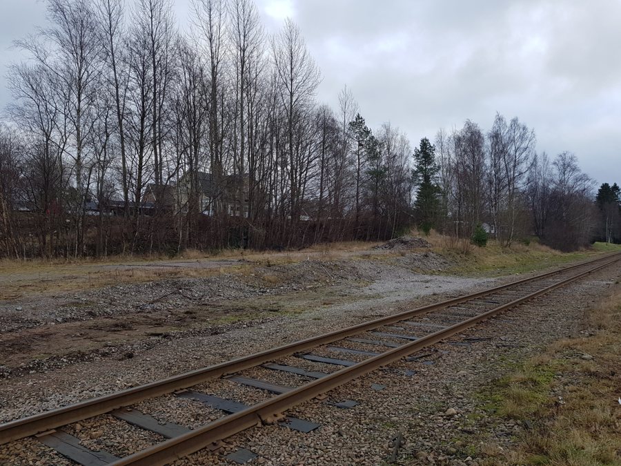 File:Borttagen stationsbyggnad, Kinnared 2.jpg
Photo: Bajenmonen via Wikimedia Commons, CC-BY-SA-4.0
Between Hallandsleden and Smålandsleden
Just outside Kinnared, an approximately 19-kilometer connecting trail links Hallandsleden with Smålandsleden. This is a separate stage between two long-distance trails, not a short loop through the village. If you want to hike it, you will need to plan your starting point, destination and return journey. The distance alone tells you nothing about elevation changes, trail conditions or how long the hike will take. Use current trail maps and take the weather and daylight into account.
Another long-distance trail is the nearly 100-kilometer Gislavedsleden. It runs from Kinnared in the south to Isaberg in the north. The trail is marked in orange; there are campsites with wind shelters and toilets along the route. This is helpful for planning a hike, but it does not mean that every individual stage has the same facilities or that a particular campsite will be available. Before a multi-day hike, check the locations of the sites, current rules and your own equipment. For a short stay, choose a limited section rather than treating the entire trail length as a walk around the village.
The two trail details serve different purposes: the 19-kilometer connection provides a link between Hallandsleden and Smålandsleden, while Gislavedsleden is a longer north–south route. If you are staying overnight in Kinnared, first decide which of these trails fits your itinerary. An accommodation listing described as “near a hiking trail” is only useful once its exact location has been compared with your chosen starting point.
The church and Högloftsstugan
Kinnared Church dates from the 12th century and stands on a rise overlooking Kyrkebol. It is a striking historic landmark in the village, particularly alongside the extensive hiking trails. Visiting the outside is different from viewing the interior; for the latter, check current opening hours and service times. Its elevated location also says nothing about wheelchair accessibility.
Högloftsstugan, also known as Sjöbostugan, is a tourist attraction in Kinnared. The building was probably constructed at the end of the 17th century. The word “probably” makes clear that this is an estimated date, not a confirmed year of construction. Before visiting, check whether and when an interior visit is possible. A local attraction is not automatically a museum that is open on an ongoing basis.
Getting there and planning a practical stay
Bus service and a railway station are documented for Kinnared. This means a stay without a car can generally be planned, but travel times and connections should be checked for your specific travel date. The return journey is particularly important after a point-to-point hike. Staying overnight in the valley may make it easier to start on the trail if the accommodation is in a suitable location; a property elsewhere in the municipality may involve a very different journey. Compare specific offers by address and terms. This keeps the river valley, village history and the two different long-distance trail options clearly distinct as documented reasons to visit.

