
Helpt: Hotels and accommodation
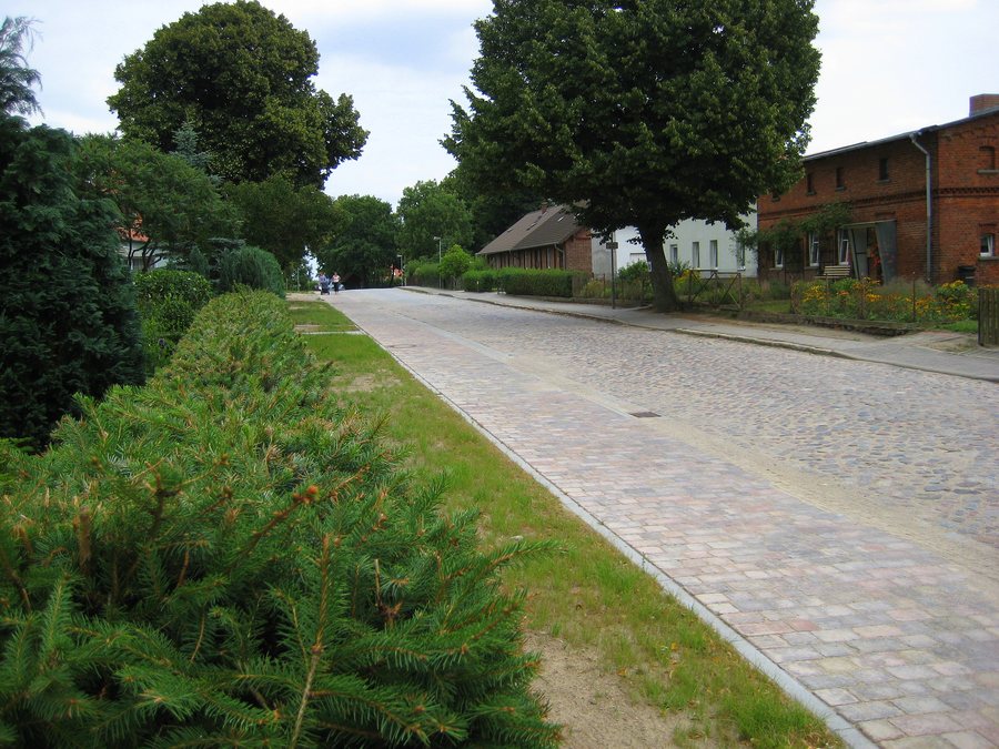
The village of Helpt is dominated by its Protestant village church, an early Gothic fieldstone building dating from the second half of the 13th century. Inside are a Baroque altarpiece from 1720, a wooden pulpit from the 17th century, and a bell cast in 1714.
Culture and history
The Helpt estate complex includes a manor house and a park with the remains of a medieval castle and an ice cellar. The brick manor house, built on a fieldstone foundation, was erected in 1884. The remains of the former medieval castle lie next to the manor house in the form of an oval castle mound. Parts of the former tower cellar and adjoining vaulted rooms have been reconstructed; sections of the filled-in castle moat have been reopened.
The Blankenburg ruins are located in the area surrounding Helpt. Cölpin village church is also located in the surrounding area. Schlossberg and the church ruins are located in the wider regional area.
Landscape
Petersilienberg, Sandberg, Großer Hellberg, and Jägerberg are located in the immediate vicinity of Helpt. The Helpter Berge form a predominantly wooded upland in the southeast of Helpt’s field area. Helpter Berg reaches 179.2 metres; paths lead to a summit cross with a summit register.
Geographical setting
In the immediate context of Helpt, Oertzenhof railway station is considered an important local public transport stop on the Lübeck–Stettin line.
Other places
Other places at the same higher administrative level can be found under Woldegk, Schönhausen, Groß Miltzow, Mildenitz, Kublank, Voigtsdorf, Neetzka and Petersdorf.
For the higher-level travel overview: Amt Woldegk.
Check prices, availability, and amenities for your travel dates directly on Booking.com.
View accommodation and offersAdvertisement · Affiliate link to Booking.com
