
Lüdershagen: Hotels and Accommodations
Accommodation in Lüdershagen
Lüdershagen is located about 6 kilometers from the waters of the Saaler and Bodstedter Bodden lagoons. To the north, the municipality extends to the southern edge of the Gäthkenhäger Forest.
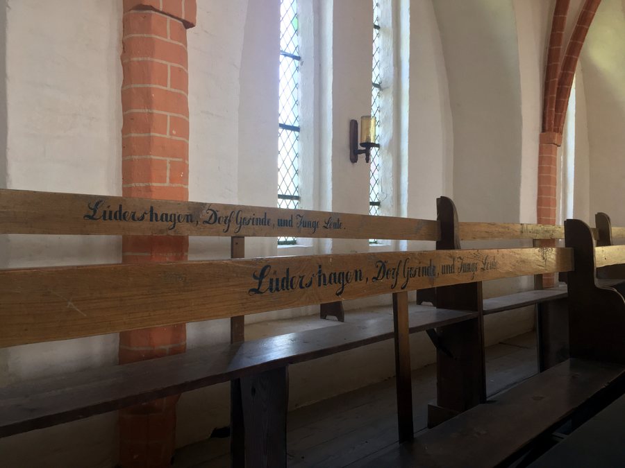 File:Georgskirche Lüdershagen 06.jpg
Photo: Klaus D. Peter, Wiehl, Germany via Wikimedia Commons, CC BY 3.0 DE
File:Georgskirche Lüdershagen 06.jpg
Photo: Klaus D. Peter, Wiehl, Germany via Wikimedia Commons, CC BY 3.0 DE
Geographical Location
Lüdershagen is a municipality in the western part of Vorpommern-Rügen and belongs to the Barth administrative district. The village is located about 11 kilometers east of Damgarten harbor and about 10 kilometers southwest of Barth.
Surrounding Area
Glippe is located in the wider regional area. Jäger Bülten, Eichort, and Schmidtbülten are also situated in the vicinity of Lüdershagen. The Marlow Bird Park is likewise located in the wider regional area.
Culture
The “Dorfkirche, Langenhanshagen,” “Kenz-Küstrow, Marienkirche,” and “Barth, Kirche St. Marien” churches are located in the vicinity of Lüdershagen.
Transport
The southern municipal boundary crosses the route of Federal Highway 105, which runs between Rostock and Stralsund.
To the overview of higher-level travel destinations: Barth administrative district.
More Destinations
More places within the same destination:

