
Zempin: Hotels and Accommodation
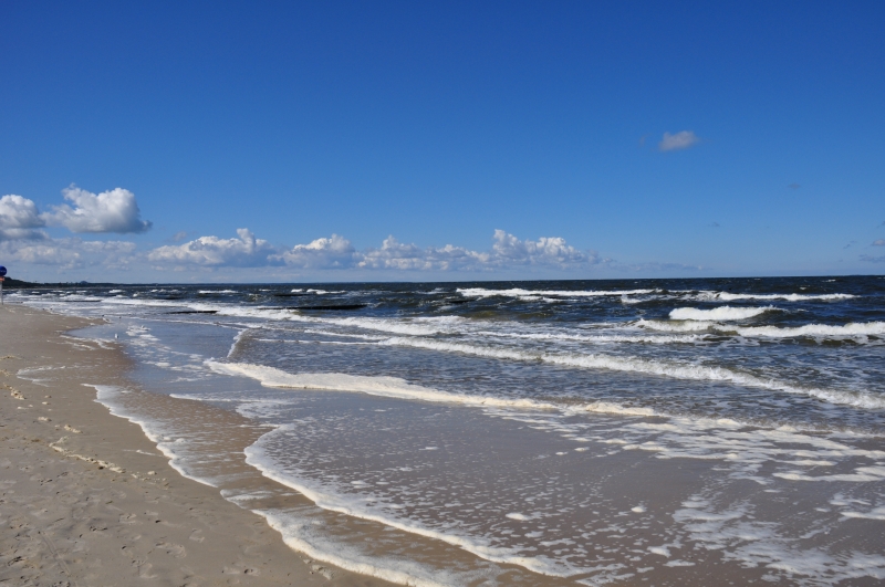
Zempin is located at or near the narrowest point of Usedom – between the Baltic Sea and the Achterwasser lagoon. Its coastal landscape includes dunes and a cliff, while the town also combines everyday maritime culture, historic buildings, and signposted paths.
Coast and Landscape
Zempin’s coastal landscape is characterized by dunes and a cliff. On the beach, you can search for amber or ask an amber fisherman where to find it. In Zempin, you can also watch fishermen at work; fresh fish and fish sandwiches are also part of the local offerings.
Paths and Mobility
A signposted educational trail explores the local nature, history, land, and people. For walks, there is the green Alt Zempiner Weg, which takes about 40 minutes, the red Seebadweg, which takes about one and a half hours, and the blue Großer Rundweg, which usually takes about 105 minutes.
Zempin is connected to the Usedomer Bäderbahn railway network; Zempin station is a stop on this railway. The local offerings also include bicycle and e-bike rental as well as guided tours.
History and Townscape
A small fishing museum is located in the Uns olle Schaul community center. It also houses a colonial goods store dating from 1928.
The townscape is complemented by numerous thatched-roof houses, most of which originated as old fishermen’s houses. These thatched-roof houses are protected under the local municipal ordinance.
Other Local Pages
Mellenthin, Dargen, Korswandt, Stolpe on Usedom, Usedom, Ückeritz, Rankwitz
For the overarching travel overview: Amt Usedom-Süd.
More About the Destination
Relevant information for planning your trip:
Check prices, availability, and amenities for your travel dates directly on Booking.com.
View Accommodation and OffersAdvertisement · Affiliate link to Booking.com