
Wiezyca: Cycling Route and Szlak Wzgórz Szymbarskich
Accommodation in Wiezyca
Two routes are central to choosing a route in Wiezyca. The “Szlakiem Hutniczym” cycling route starts at Wieżyca station and is about 28 kilometers long. The black Szlak Wzgórz Szymbarskich is listed as 21.3 kilometers long and continues via Wiezyca to Szymbark. The lengths allow for a rough comparison of the routes’ scope, but say nothing about how long they take.
“Szlakiem Hutniczym” cycling route
The cycling route includes narrow asphalt sections as well as numerous gravel and dirt roads. Alongside the approximate length, the surface is a second criterion for choosing a route: it includes both paved and unpaved sections. When planning a bike ride, you can weigh both details rather than judging the route solely by its distance. The types of paths give a concrete impression of how the route description characterizes the cycling route.
Information boards with maps are located at all major intersections. Signs featuring a bicycle symbol, a green stripe, and the words “Szlak hutniczy” also mark the route. The use of a GPX track is also recommended. Maps, signs, and the GPX recommendation offer different points of reference for planning the ride. As routes may change, check the current markings before relying on them for navigation.
The black Szlak Wzgórz Szymbarskich
The route runs from Borcz via Trątkownica, Wyczechowo, Nowy Dwór, Sławki, and Rąty to Wiezyca, then continues to Szymbark. The sequence of place names makes the route easier to picture: it shows several named points along the way and that Wiezyca is not named as the route’s endpoint. This makes it possible to understand the route by its stops rather than looking only at the starting point and destination.
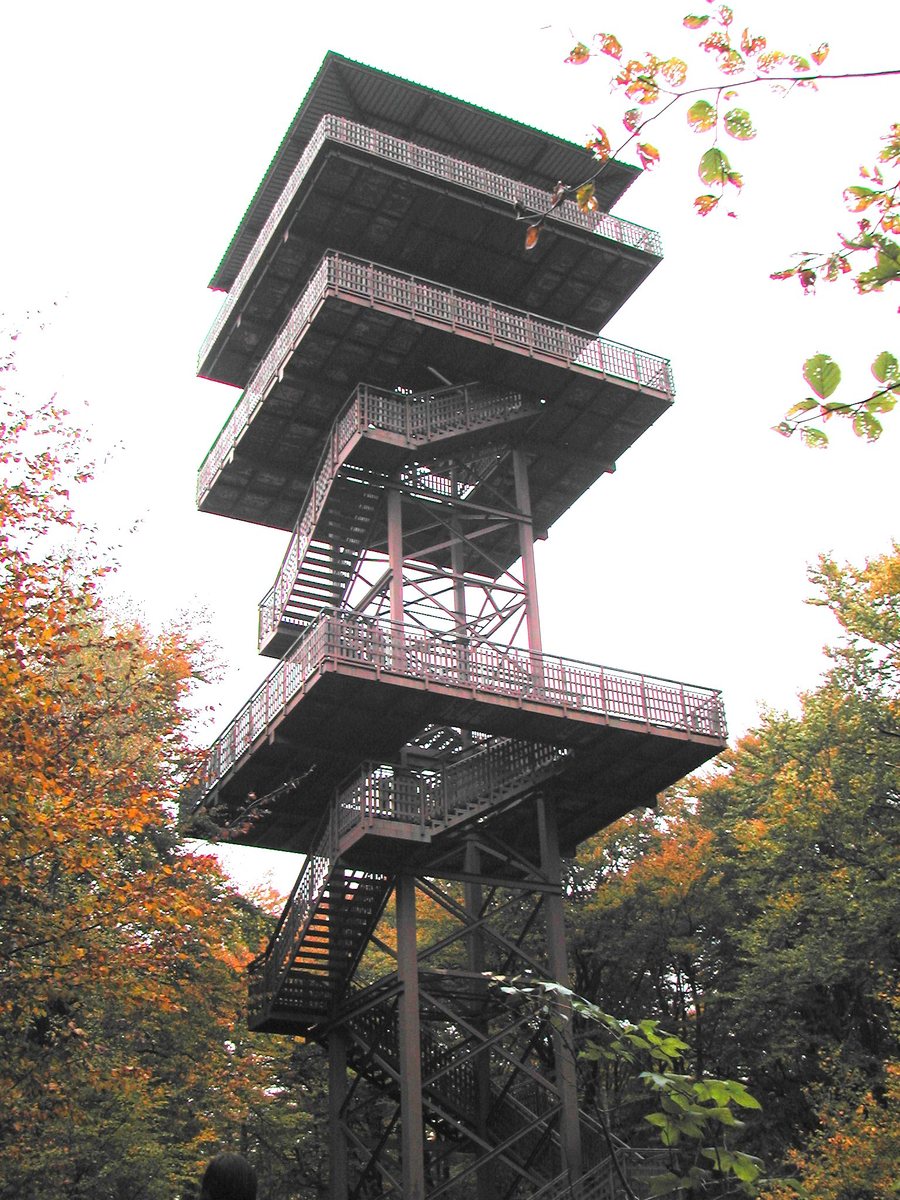
In the area around Wiezyca, the described ascent initially follows a paved section and a dirt road toward Rybaki. It then continues along a narrow forest path over a deep stream ravine to the summit of Wieżyca. The route progresses from asphalt and a dirt road to a narrow path in the forest. This adds specific details about the route and landscape to the information about its length.
Compare the routes based on what matters to you
When choosing between the routes, it is worth considering more than just the distance. For the cycling route, the surfaces, signs, and map boards are the main points to consider; for the black Szlak, its course through several places and the described ascent to the summit are important points of reference. If you are interested in a bike ride and its road surfaces, the cycling route offers a concrete option. If you want to take the sequence of places and the summit climb into account, the black Szlak answers a different route-planning question.
Discover more destinations: Borucino, Kamienica Krolewska, Rąb, Tokary, Somonino, Łączyno, Kamienicki Mlyn and Ostrzyce.
Back to the main travel overview: Karthaus.

