
Rickert: Hotels and Accommodation
The Selkenkoppel nature trail is an educational trail featuring native deciduous and coniferous trees.
Nature and Landscape
Rickert lies in the outer moraine zone formed during the last Ice Age and close to the boundary between the Schleswiger and Holsteiner Geest. The terrain is largely flat; there are only a few small hills in the east. More than two-thirds of the area is used as arable or pastureland, while the remaining area consists of meadows and marshes. Over thousands of years, meltwater channels from the Ice Age formed marsh landscapes around Rickert. Heathland developed on sandy areas.
Culture and History
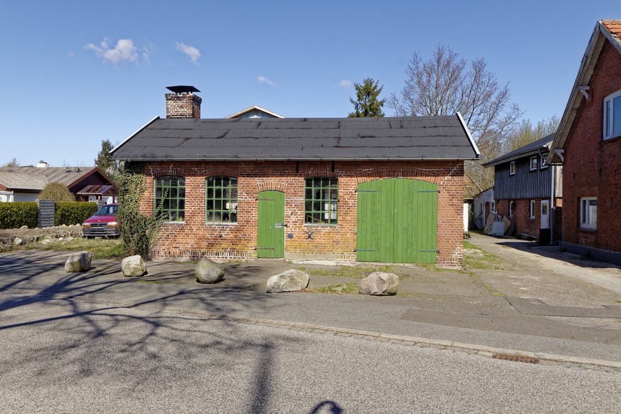
The historic village centre of Rickert has preserved its irregular layout. Near the entrance to Brenkhof stands a peace oak dating from 1871. A twin oak by the forge is intended to symbolise the indivisibility of Schleswig and Holstein.
Until Campen Church was demolished in 1691, Rickert belonged to the Campen parish. Regular church services are held at the local community centre, which is also used for performances by the Niederdeutsche Bühne Rendsburg. The municipal coat of arms also depicts a cartwheel and a harrow.
The Rendsburg region is characterised by the Kiel Canal.
Other places: Damendorf, Haale, Dänischenhagen, Osterrönfeld, Schönhagen, Todenbüttel, Krummwisch, Hohner Harde
For the higher-level travel overview: Rendsburg-Eckernförde.
Check prices, availability and amenities for your travel dates directly on Booking.com.
View accommodation and offersAdvertisement · Affiliate link to Booking.com
