
Schönhorst: Hotels and accommodations
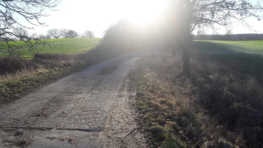 File:Feldweg, Schönkirchen-Schönhorst.jpg
Photo: Christian Alexander Otto via Wikimedia Commons, CC BY 4.0
File:Feldweg, Schönkirchen-Schönhorst.jpg
Photo: Christian Alexander Otto via Wikimedia Commons, CC BY 4.0
Schönhorst has very hilly terrain; extensive woodland areas lie in the north. Small ponds, wet forests, and ecologically valuable succession areas can be found there.
Landscape
In the south, the landscape is characterized by intensive grassland farming. Numerous small bodies of water lie between the grasslands. The Strom flows from north to south through the entire municipality, and the Schönhorst Drain empties into it. Local ditches drain southward toward Bothkamper See and the Eider. In the southeast, views open toward Bothkamper See. Schönhorst’s hedgerow network is comparatively well developed. Schönhorst is considered a local recreation area for Kiel.
Paths
New walking paths were created during reforestation in 1992. A circular trail leads into Schönhorster Gehege and crosses a stream that flows toward Bothkamper See. It offers views of Bothkamper See, the church in Kirchbarkau, and Bothkamp Manor. The duration is estimated at approximately five hours.
Getting there
The circular trail can be reached by car via the A 21 or B 404, using the Kirchbarkau exit. Bus route 410 provides a connection from Kiel Central Station/ZOB to Kirchbarkau, Am Alten Bahnhof. State road 307 runs through Schönhorst from west to east and connects state road 318 with federal road 404.
History and cycling
In 1334, Sifried and Eler von Bissee sold half of the village of Schönhorst to Heinrich Godethit. Schleswig-Holstein has 13 developed long-distance cycling routes and numerous regional routes that support cycling holidays.
Other places at the same higher administrative level: Noer, Felm, Bordesholm, Schacht-Audorf, Fockbek, Hohenwestedt, Eider Canal, Fleckeby.
To the higher-level travel overview: Rendsburg-Eckernförde.
Check prices, availability, and amenities for your travel dates directly on Booking.com.
View accommodations and offersAdvertisement · Affiliate link to Booking.com
