
Böel: Hotels and Accommodation
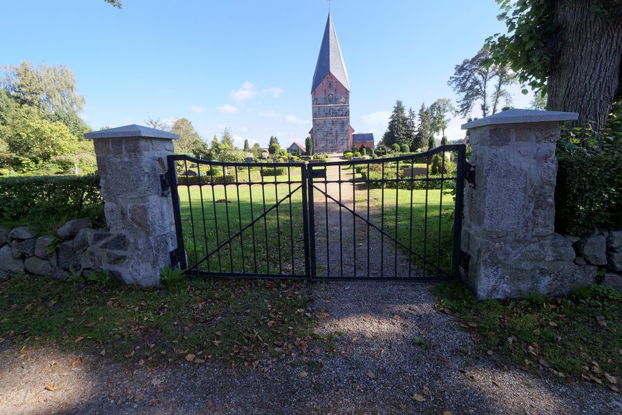
In the center of Böel, the church, vicarage, inn, and farmsteads form a historic, densely built-up village center.
Nature
The Oxbek runs along the southern boundary of Böel. Its valley areas and the adjoining woodlands are part of the FFH-protected Wellspanger-Loiter-Oxbek system.
Böel has an extensive network of cycle paths connecting the village with the neighboring municipalities. These include cycle paths alongside the roads along the L 23 and L 28.
Böel is situated in the hedgerow landscape of Angeln.
Geographical Location
The Edelsturm ruins are located in the area surrounding Böel. Lindholm and Tolkschau are also located in the surrounding area.
In the wider regional surroundings of Böel are Gottorf Castle, the State Museum, Habernis Beach, the Rune Stone, St. John’s Monastery, and Kleiner Flintholm.
More local pages: Stolk, Saustrup, Scheggerott, Loit, Rügge, Steinfeld, Wagersrott, Boren.
To the higher-level travel overview: Süderbrarup.
Check prices, availability, and amenities for your travel dates directly on Booking.com.
View accommodation and offersAdvertisement · Affiliate link to Booking.com
