
Nordmaling between Sea, Nature and History
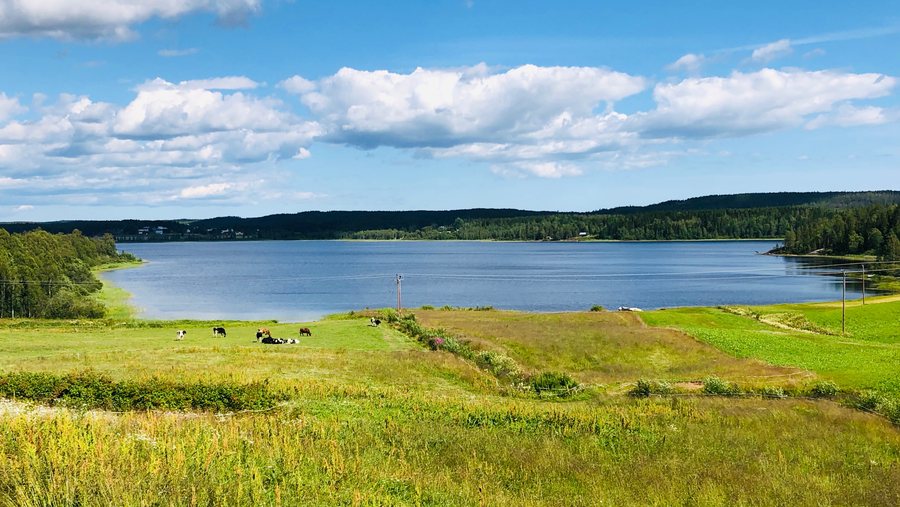
Nordmaling combines proximity to the sea with two untamed rivers and forest. The municipality is home to around ten small and large nature reserves with nature worthy of protection. Coastal landscapes, marshes, riverbanks and historic sites give the area a variety of distinctive features.
Nature and Landscape
The Kronören Nature Reserve has two marked hiking trails; the area is also suitable for sea kayaking. At Långroudden in the nature reserve, birdwatchers gather in spring, autumn and winter to observe the migration of birds.
The entrance to Torsmyran Nature Reserve is located directly on the E4 north of Nordmaling; a ramp leads onto the marsh. As there is very little light pollution from buildings in the surrounding area, Torsmyran is suitable for stargazing. The reserve also contains a 370-metre-long system of 12 pit traps.
In the Örefjärden-Snöanskärgården area, land rises by 85 centimetres per century. On the archipelago island of Snöan, old stone arrangements in the form of compass roses and circular labyrinths can be found on the fields of cobblestones.
Culture and History
At Järnäs udde, next to the guest harbour at Storklubben, there is a 19th-century pilot station. Near Örsten, next to the mouth of the Öreälven, there is an extensive sandy beach; Örsten can be reached by boat.
The Olofsfors Bruk ironworks originated in the 1760s. Olofsfors Bruk, dating from 1762, is one of Sweden’s best-preserved industrial monuments. Guided tours are offered there, and the industrial museum can be visited.
Nordmaling Church was built around 1480 and is one of the few medieval churches in Upper Norrland. Nordmaling’s church museum is housed in the old mortuary chapel and contains objects from the church’s long history.
Trails and Winter
The Ålidberget Nature Reserve encompasses the upper areas of Ålidberget, its eastern slopes down to the Lögdeälven, sediment surfaces, steep sandy erosion cliffs and ravines on both sides of the river. The Lögdeälvsleden trail runs through the reserve along the western bank of the Lögdeälven, where it is frequently used by sport anglers and hikers interested in nature.
Along the Lögdeälvsleden there are overnight cabins, wind shelters, suspension bridges, terrain stairs, sections of boardwalk and equipped picnic areas. The Lögdeälven is one of Norrland’s most important salmon and sea-trout waters; it contains especially valuable populations of freshwater pearl mussels, salmon and trout.
The Tjuv-Antes Cave is one of Sweden’s largest tunnel caves. Nordmaling’s market takes place every year in July.
The cross-country ski track at the turning area on Åkervägen is 3.3 kilometres long, completely flat and suitable for both classic cross-country skiing and skating; it is not lit. At Lusberget near Ålidberget, there is a 5-kilometre cross-country ski track with barbecue shelters. Ålidberget has two tow lifts and two prepared downhill runs.
Places and Getting There
The following places are associated with Nordmaling: Järnäs, Lögdeå, Nordmaling, Norrfors and Bäcknäset.
Nordmaling railway station is on the Botnia Line. It is served by a Norrtåg service with connections to Sundsvall, Örnsköldsvik and Umeå.
For the higher-level travel overview: Västerbotten.
Check prices, availability and amenities for your travel dates directly on Booking.com.
View Accommodation and OffersAdvertisement · Affiliate link to Booking.comMore Destinations
More places within the same destination:

