
Discover Kruklanki
Accommodation in Kruklanki
Explore Kruklanki on foot, along the Way of St. James, or with a view to a kayaking route through varied landscapes. Clear landmarks help you find your way around: a nature and education trail starts and ends in the centre, while the Sapina forms part of a longer route connecting two lakes. History is also part of the townscape, from a church dating to 1574 to preserved buildings of the former railway station.
Nature trail and lake views
The trail is an approximately 7 km, two-stage circular route. Since it starts and ends in the centre of Kruklanki, it can be followed as a loop. Twelve themed stops add information boards about the area’s fauna, flora, history and culture. Nature and culture sit side by side: the boards cover both local wildlife and plant life, as well as the history and culture of the surrounding area.
The trail also includes a viewpoint overlooking Lake Patelnia. Visitors looking to pair a nature walk with a specific destination will find a route that brings together a circular trail, themed stops and lake views. Its length and two-stage layout provide a guide for planning your day, without implying a particular walking time.
The Sapina and the Way of St. James
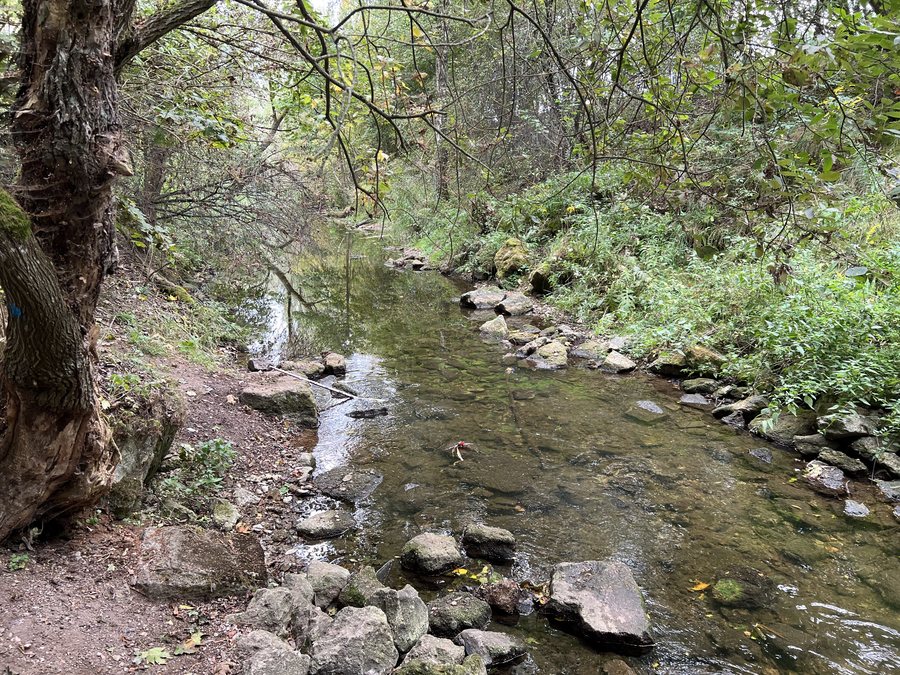
The Sapina also shapes the range of activities available: near Kruklanki, the river forms part of an approximately 26 km kayaking route described as scenic. The route runs from Lake Kruklin in the south to Lake Święcajty in the north. This offers two distinct options: a circular walking trail that starts and ends in the town centre, and a longer kayaking route connecting two lakes.
Kruklanki is also part of the Way of St. James for hikers. The Olecko–Kruklanki–Giżycko section belongs to this route. Between Lakes Gołdopiwo and Brożówka, the Way of St. James runs towards Kruklanki, which it reaches after 1.5 km. From there, it continues via Kożuchy Wielkie to Giżycko. This sequence of places helps visitors see Kruklanki as a stop along a longer section of the route, rather than focusing only on a circular walk in town.
Church, bridge and former railway buildings
The Church of the Assumption of Mary was built in 1574 and is now a parish church. Near Kruklanki are also the ruins of a five-span reinforced-concrete railway bridge over the Sapina. Built in 1908, it is considered the best-known site in the area around Kruklanki. The ruins lie a few hundred metres south of Lake Patelnia. The preserved buildings of the former railway station add to the town’s historical landmarks.
Each of these historical sites has its own significance: the church is an active parish church whose history dates back to the 16th century, while the bridge ruins and former railway station buildings point to earlier structures. Visitors choosing Kruklanki for its cultural and historical connections can explore these alongside the trail, lake and water route.
Getting your bearings in town
Kruklanki has a tourist information centre and rental outlets for tourist equipment. These facilities complement the town’s natural and historical attractions. Other destinations in the same broader selection include Talki, Boćwinka, Wilkasy, Mioduńskie, Marcinowa Wola, Sterławki Wielkie, Prażmowo and Łękuk Mały.
For the broader travel overview: Giżycko.

