
Neu Boltenhagen: Hotels and accommodations
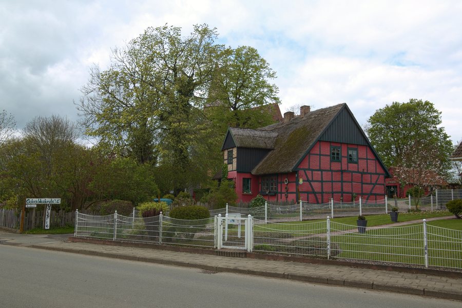
Neu Boltenhagen lies between Greifswald and Wolgast, east of the Dänische Wiek, which is part of the Greifswald Bodden. The village is located on the southern edge of the Ziesebruch, through which the Ziese flows eastward toward the Peenestrom.
Geographical location
Neu Boltenhagen lies north of federal highway 109 on the Greifswald–Lubmin railway line. Greifswald is approximately 14 kilometers to the west, and Lubmin approximately 9 kilometers to the northeast.
Nature and surroundings
Lubmin Beach is located in the area surrounding Neu Boltenhagen. The Schlossinsel and Wolgast Zoo are also nearby.
The wider regional surroundings of Neu Boltenhagen include the Trassenheide Butterfly Farm, Quilow Water Castle, and the Trabbi-Scheune.
Culture and history
The Peenemünde power plant and the Peenemünde oxygen plant are located near Neu Boltenhagen.
Karbow was first documented as Carbow in 1502 and is considered an Old Slavic settlement. The name means “hamster.”
More local pages: Kemnitz, Brünzow, Rubenow, Kröslin, Katzow
For the higher-level travel overview: Amt Lubmin.
More about the destination
Useful information for planning your trip:
Check prices, availability, and amenities for your travel dates directly on Booking.com.
View accommodations and offersAdvertisement · Affiliate link to Booking.com
