
Miłowo – Routes and a Protestant cemetery
Accommodation in Miłowo
Two trail references and a cultural site are useful for finding your way around Miłowo: the green-marked Skarszewski Trail, the route “Pod górę, nad jezioro,” and a Protestant cemetery on ul. Przywidzka. These three points of reference raise different questions: Where does Miłowo fit into a route, which places follow one another, and what local cultural site interests you?
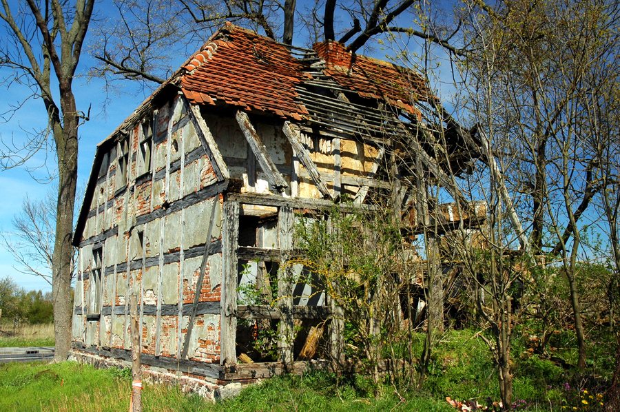 File:Miłowo - Wrocławska 28 - 28.04.2023 12-20-53.jpg
Photo: Photographs by Radosław Drożdżewski (User:Zwiadowca21) via Source, CC BY-SA 4.0
The Skarszewski Trail near Miłowo
The green-marked Skarszewski Trail reaches the first houses of Miłowo. At kilometre 59.5, it runs along a road heading south through Miłowo. The two details serve different purposes for orientation: the kilometre marker identifies a point along the trail, while the first houses indicate where its route passes through the village. If you are locating Miłowo using the Skarszewski Trail, you can use both details without interpreting the kilometre figure as the length of a local section. Check local conditions before setting out.
A route with its own sequence of places
The route “Pod górę, nad jezioro” runs, in the stated order, from Błotnia through Miłowo to Bliziny. The focus here is not a single kilometre marker, but the sequence of the three named places. Miłowo is thus located as an intermediate point in this sequence. For your planning, the full route name together with the sequence of places provides a clear way to identify this route and distinguish it from the reference points along the Skarszewski Trail.
The two route details help with different orientation questions: for the Skarszewski Trail, a green marking, a kilometre marker, and the first houses of Miłowo are noted; “Pod górę, nad jezioro” can be identified by the sequence Błotnia–Miłowo–Bliziny. Which detail matters most to you depends on whether you are looking for a local point along the route or the sequence of places.
The Skarszewski Trail on a regional scale
In the wider region, the green-marked Skarszewski Trail connects Sopot Kamienny Potok with Skarszewy and is 81.6 km long. This length refers to the entire route. It should be distinguished from the point mentioned near Miłowo at kilometre 59.5, on a road heading south. The figures answer different planning questions: 81.6 km describes the length of the full route, while kilometre 59.5 identifies a point along it. This makes it possible to distinguish the regional scale of the trail from local orientation in Miłowo.
A Protestant cemetery on ul. Przywidzka
A Protestant cemetery is located in Miłowo on ul. Przywidzka. This local reference adds a different subject to the routes: religious culture and cemetery sites. If you are interested in such places, you can include the cemetery as a point of its own in your exploration of Miłowo, independently of the route descriptions. The street address and Protestant denomination provide specific spatial and thematic context. Check access arrangements before planning a visit.
Discover more travel destinations: Trzepowo, Juszkowo, Pręgowo Górne, Kłodawa, Przejazdowo, Straszyn, Przywidz, Cedry Małe
Go to the main travel overview: Gdańsk.

