
Pomlewo: Hiking and Cycling
Accommodation in Pomlewo
In Pomlewo, you can distinguish between a hiking trail, a Nordic walking loop and cycling routes. The routes offer different points of reference: a hiking route with two named endpoints, a loop around a lake, and cycling routes that include Pomlewo in their course. If you are planning a stay around a specific activity, you can first choose your preferred way of getting around, then the route format and connection to the area. These differences in particular can help you organise the routes according to your own travel plans.
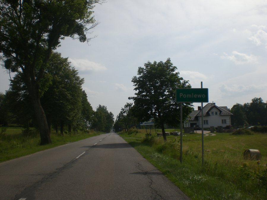
The Szlak Skarszewski as a hiking route
The green-marked Szlak Skarszewski is a hiking trail from Sopot Kamienny Potok to Skarszewy and is 81.6 kilometres long in total. It passes through the area around Pomlewo. Pomlewo is therefore part of the route, but is not listed as one of its two endpoints. The stated length refers to the entire trail between Sopot Kamienny Potok and Skarszewy, while the reference to Pomlewo indicates the section passing through its vicinity. If you choose a hiking route by its markings, named endpoints and total length, you can consider these features separately.
A loop around Jezioro Przywidzkie
The green-marked Nordic walking route around Lake Jezioro Przywidzkie offers a different route format. It starts and ends at the Pensjonat “Kozi Gród” in Pomlewo and forms a loop around the lake. The entire route lies within the Przywidzki Obszar Chronionego Krajobrazu. This means the start and finish are at the same place, while the lake defines the course of the loop. If you choose a route based on its landscape, you can take into account both the lake and the fact that the entire route lies within a protected landscape area. Conditions on the route may change; check them before setting out.
Cycling routes with different connections to the area
The cycling routes also have specific points of reference. On the Szlak Rowerowy Wzgórz Przywidzza, Pomlewo is 4.5 kilometres after Przywidz. In the Gmina Przywidz, the cycling route passes through very hilly areas. The blue-marked Szlak Kaszubsko-Żuławski also passes through Pomlewo, as does the black-marked Szlak Doliny Reknicy. On the two latter routes, the colours help distinguish between the cycling trails. For the Wzgórz Przywidzza route, the order of places along the route and the very hilly areas in the Gmina Przywidz provide orientation instead. The 4.5 kilometres describes the distance along the cycling route.
A useful point of reference for planning
When planning, it is particularly useful to distinguish between a loop that starts in the area and a route that passes through it. The Nordic walking route starts and ends in Pomlewo; the Szlak Skarszewski passes through the area around Pomlewo, and on the Szlak Rowerowy Wzgórz Przywidzza, Pomlewo is 4.5 kilometres after Przywidz. This makes it possible to see whether Pomlewo serves as the start and finish of your chosen route or as a point along its course. This distinction can make it easier to choose an activity and a suitable route format.
Discover other destinations: Żukczyn, Swibno, Elganowo, Miłowo, Pręgowo Górne, Kleszczewo, Suchy Dąb, Przywidz
For the main travel overview: Gdańsk.

