
Reskowo: Historical Traces and Cycle Route 6
Accommodation in Reskowo
For a trip where cycling and historical traces are equally important, Reskowo offers some specific points of interest: Cycle Route 6 passes through the village, while a surviving document and an archaeological site evoke different eras. You can tailor your choices around two clear interests: a circular route in the Kashubian Landscape Park and a look at ecclesiastical, monastic, and archaeological history.
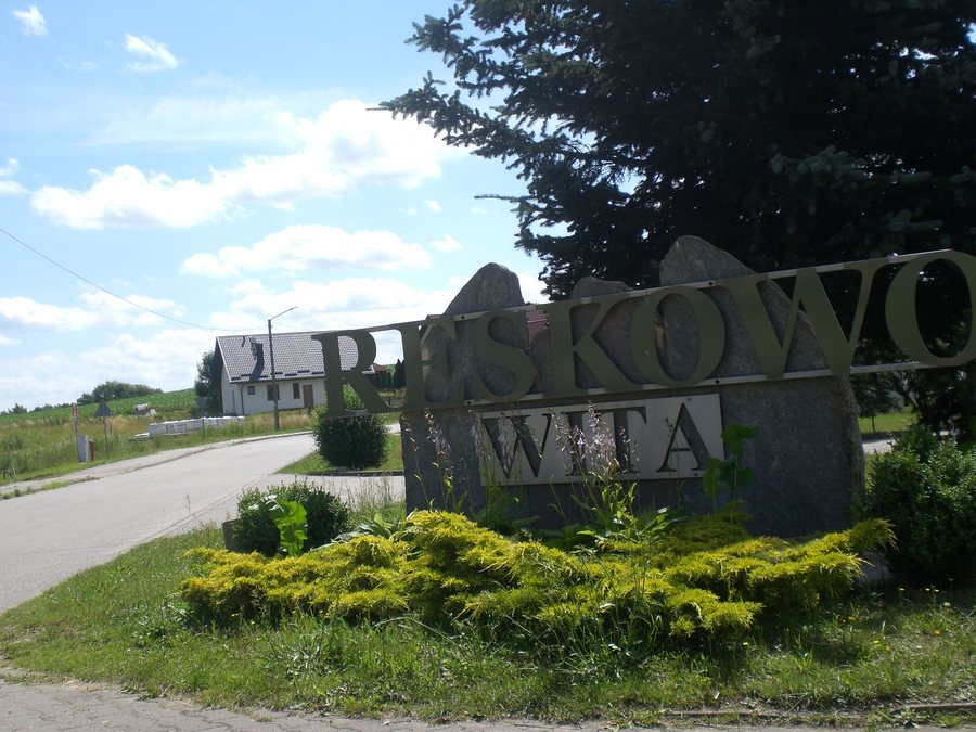
History and Archaeological Traces
A surviving document records that the Pomeranian dukes granted Reskowo, together with its lake, to the church in Chmielno as an endowment. In the second half of the 16th century, Reskowo belonged to the Norbertine convent in Żukowo. Together, these two accounts point to Reskowo’s ecclesiastical history, but in different contexts. A flat cemetery dating from the Early Iron Age is one of the archaeological sites in Reskowo and bears the designation C-173. The cemetery adds a much earlier period to the village’s history than the second half of the 16th century cited for the convent.
Cycling and Walking Routes
Cycle Route 6 follows a circular route through Chmielno, Kożyczkowo, Cieszenie, Reskowo, Chmielno, Lampa, Zgorzałe, and Stężyca. It is 29.5 km long within the Kashubian Landscape Park. The circular route and its length provide concrete guidance for planning; check the current signs before setting off.
In the surrounding area, the Chmielno–Reskowo Nordic walking route offers a different way to experience the landscape. It runs along fields and forests, then along the lakeshore, and offers views of Lake Jezioro Raduńskie Dolne. The descriptions emphasize different things: the cycling route focuses on its course and distance, while the Nordic walking route highlights fields, forest, shore, and views.
Kayaking Route in the Wider Region
In the wider region, the Łeba kayaking route offers a different scale of distance and dependence on water levels. The route is 120 km long in total, of which 27.2 km lie within the Kashubian Landscape Park. It is considered quite difficult and strenuous; its upper section has the character of a mountain stream. Water levels affect how practical it is to use: when water levels are higher, the Łeba is navigable from Jezioro Długie; at medium water levels, Jezioro Sianowskie is the furthest upstream starting point. So check water-level conditions before planning a specific trip. For a useful comparison, it is important to note the relevant reference point: the 29.5 km for the cycling route refers to the section within the park; for the Łeba, 120 km is the total length and 27.2 km is the section within the park.
The activities also differ in their geographical scope: the Nordic walking route is in the surrounding area, while the Łeba kayaking route is in the wider region.
Getting There
For travel to the area, the municipal timetable lists route 220501 from Borzestowo via Miechucino to Reskowo. If you would like to use this service for your journey, check the current timetable in advance.
Discover more destinations: Czeczewo, Kczewo, Sikorzyno, Zgorzałe, Puzdrowo, Sianowska Huta, Chmielno, Kartuzy.
For the main travel overview: Karthaus.

