
Konarzyny: Church History, Nature Conservation and Routes
Accommodation in Konarzyny
Konarzyny can be explored through three specific topics: the Roman Catholic Parish of St. Anthony of Padua, a nature reserve by Lake Krąg, and route descriptions for the municipality. Together, they provide orientation for a range of interests: church history, protected nature, and routes for hiking or cycling. If you are looking for accommodation in Konarzyny, you can use these highlights as a starting point for planning your trip.
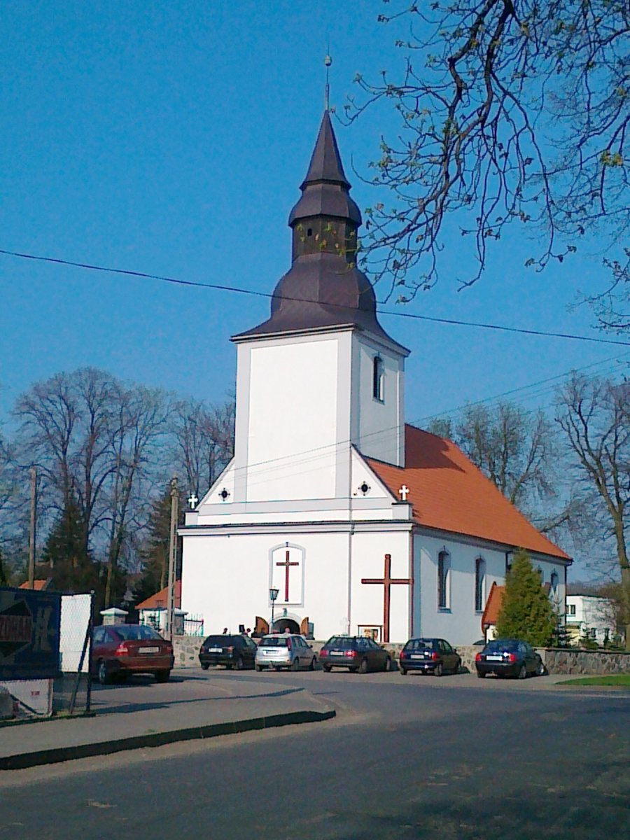 File:Kościół Św. Apostołów Piotra i Pawła - panoramio.jpg
Photo: geo573 via Wikimedia Commons, CC BY 3.0
Church History in Konarzyny
The parish was established in 1933; the church was built between 1934 and 1960. The timeline distinguishes two aspects of local history: the parish was founded a year before construction began, while building the church took considerably longer. The full name of the parish includes St. Anthony of Padua. Ecclesiastically, the parish belongs to the Zblewo Deanery of the Diocese of Pelplin. This provides three specific points for understanding its history: the year of foundation, the construction period, and its ecclesiastical affiliation. They connect the local context with a broader ecclesiastical framework and can be considered as distinct aspects of its history.
Nature Reserve by Lake Krąg
A nature reserve for wading birds and wetland vegetation lies by Lake Krąg in Konarzyny. Nature conservation here has a clear focus: both wading birds and wetland vegetation are among the protected features. For travellers who consider nature when choosing a destination, the connection to a named lake offers a specific point of reference. The reserve is in Konarzyny, while the route descriptions cover the municipality. This makes it possible to distinguish the nature area at a specific location from the routes across the municipality as two separate aspects of trip planning.
Walking and Cycling Routes in the Municipality
For active trip planning, the route descriptions can be compared by mode of travel, destination, and length. A route description from 2003 lists an unmarked five-kilometre walking route from Stara Kiszewa to Wygonin. An older municipal tourism website lists another unmarked walking route: it runs from Stara Kiszewa to Konarzyny and is eight kilometres long. Both walking routes have the same starting point but differ in destination and length; the route to Konarzyny is three kilometres longer than the one to Wygonin. The same older tourism website lists an unmarked cycling route via Stara Kiszewa and Wygonin to Konarzyny. It is twelve kilometres long. The two walking routes can be compared directly by length and destination; the cycling route offers a separate option with a different mode of travel. Since the routes are described as unmarked in older descriptions, it is advisable to check their current course and condition before setting out.
Discover more destinations: Lubań, Bartoszylas, Olpuch, Liniewo, Nowy Klincz, Wielki Klincz, Stary Bukowiec, Przytarnia.
Back to the main travel overview: Berent.

