
Sztutowo: Hotels and Accommodation
Accommodation in Sztutowo
The Gmina Sztutowo municipality is located on the northern edge of the Żuławy Wiślane. Its entire area lies within the Mierzeja Wiślana Landscape Park and its buffer zone. To the north, the municipality borders the Baltic Sea; to the east, the Vistula Lagoon; to the south, the Szkarpawa River; and to the southwest, the Wisła Królewiecka River.
Landscape and Bodies of Water
Almost two-thirds of the Gmina Sztutowo municipality consists of bodies of water and forests. Góra Maślana is located in the wider regional surroundings of Sztutowo.
Waterways and Maritime Locations
In Kąty Rybackie, the municipality has a seaport on the Vistula Lagoon with a fishing area and a passenger area. There are also connections for inland waterway transport via the rivers and canals of the Vistula Delta. Sztutowo also has a 30-metre-long landing pier on the Wisła Królewiecka River.
Regional Connections
The Gmina Sztutowo municipality is located near National Road 7. Road connections lead to the Tri-City, Elbląg and Nowy Dwór Gdański.
Culture and History
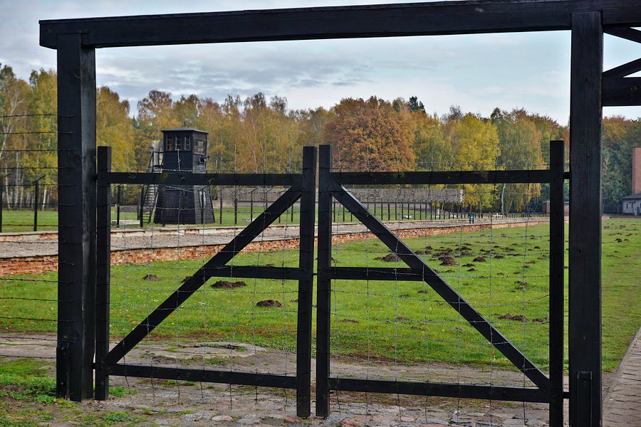
The Church of Najświętszego Serca Pana Jezusa is located in the vicinity of Sztutowo. Sztutowo is also home to a museum established in a former German concentration camp building. Visitors can visit this museum in the former camp building and take a ride on the narrow-gauge railway.
Other places: Nowy Dwór Gdański, Mikoszewo, Junoszyno, Nowa Cerkiew, Myszewko, Drewnica, Jazowa, Żuławki
For the higher-level travel overview: Tiegenhof.

.jpg)