
EASY MAP Copenhagen and Stockholm
The EASY MAP Copenhagen and EASY MAP Stockholm are two laminated city maps published by KUNTH in 2017. Both combine a map of the respective city center with an overview of the metropolitan area. A street index, public transport map, travel information and descriptions of major sights complement the maps.
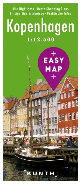 EASY Map
Design and format of the two maps
When unfolded, each map measures 67 × 42 centimeters; folded, it measures 10 × 22 centimeters. The scale of 1:12,500 means that one centimeter on the map represents 125 meters in the city. This allows the inner-city areas to be viewed at a consistent scale, while the additional metropolitan area map extends the view beyond the center. The laminated, water-resistant surface is designed for use on the go.
The street index complements the visual guide with street names that can be looked up alphabetically. The public transport overview brings together the routes for the respective city area on paper. Travel information and explanations of selected sights are also included. Each edition thus combines several wayfinding tools in a single fold-out map.
EASY MAP Copenhagen
The Copenhagen edition has ISBN 978-3-95504-438-1. Its city map covers the center of the Danish capital, with an additional overview of the metropolitan area. The street index helps locate individual streets on the map. The public transport map adds another spatial perspective on urban mobility, while descriptions of sights provide context for selected destinations.
Copenhagen is located on Zealand, on the Øresund. Harbor areas, canals and the historic city center make up an urban landscape that the map divides into the central area and its wider surroundings. For readers looking for accommodation in the capital in addition to a map, the Copenhagen accommodation overview provides relevant information. For a broader overview of the city, see Copenhagen: Harbor, Old Town and Excursions on Zealand.
EASY MAP Stockholm
The Stockholm edition is listed under ISBN 978-3-95504-446-6. It also shows the center of the Swedish capital at a scale of 1:12,500 and includes a metropolitan area map. The Stockholm edition likewise features a street index, public transport overview, travel information and descriptions of major sights.
Stockholm stretches across islands between Lake Mälaren and the Baltic Sea; expanses of water, bridges and varied shorelines shape its layout. For further regional context, see the Stockholm travel guide to the city, archipelago and coast.
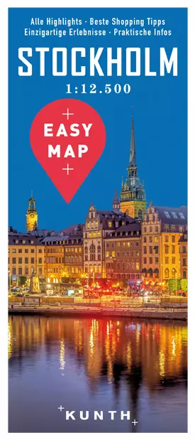
Comparing the historical editions
Both fold-out maps have the same dimensions, scale and comparable features. This makes it easy to compare the products: the main differences are the area covered in each city, the street index, the transport networks shown and the sights described. Those compiling maps for both capitals can use the ISBNs to identify each edition precisely from its bibliographic details.
- EASY MAP Copenhagen: KUNTH Verlag, 2017; ISBN 978-3-95504-438-1; listed at the time for €7.95.
- EASY MAP Stockholm: KUNTH Verlag, 2017; ISBN 978-3-95504-446-6; listed at the time for €7.95.
- Format per map: 67 × 42 centimeters unfolded, 10 × 22 centimeters folded; laminated.
- Scale per map: 1:12,500.
- Map features: City-center map, metropolitan area overview, street index, public transport map and travel information.
The prices and bibliographic details refer to the editions presented in 2017. The Copenhagen edition can also be compared with the Copenhagen city guide with walking tours, which offers a different way to explore the city: printed street maps on the one hand, and thematically organized tour suggestions on the other.
