
Neringa: Hotels and Accommodation
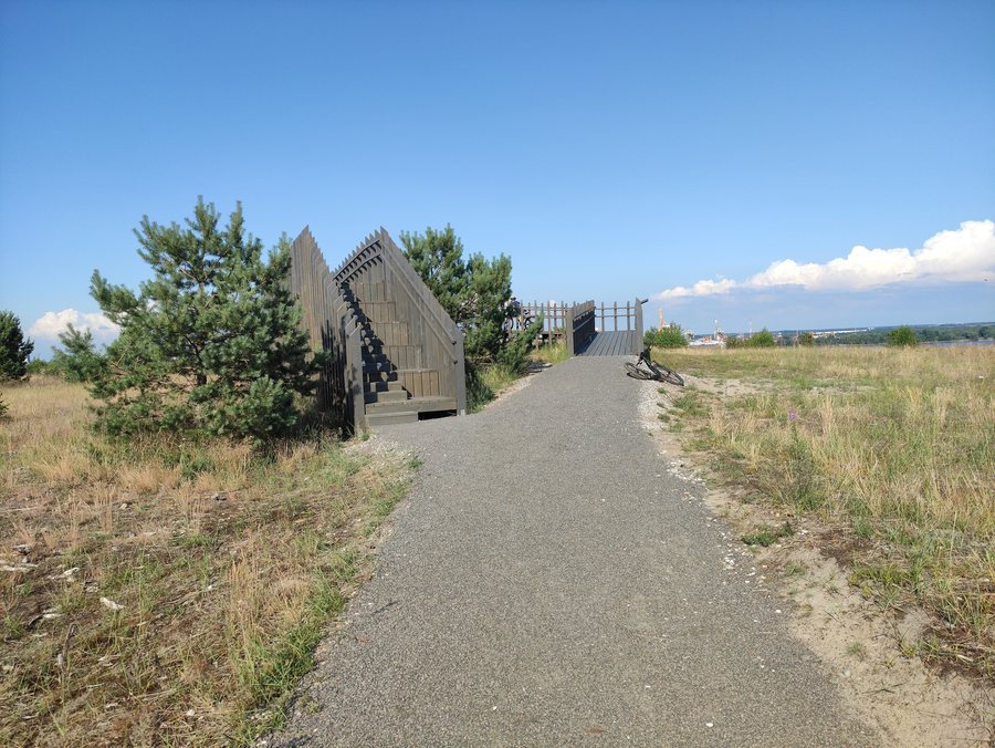 File:Meškos Galvos kopa, rozhledna, Neringa, Litva 01.jpg
Photo: Fry72, Karel Frydrýšek via Wikimedia Commons, CC BY-SA 4.0
File:Meškos Galvos kopa, rozhledna, Neringa, Litva 01.jpg
Photo: Fry72, Karel Frydrýšek via Wikimedia Commons, CC BY-SA 4.0
Pervalka is located on Pervalka Bay of the Curonian Lagoon and is surrounded by a chain of dunes to the west. The fishing village on the Curonian Spit in Lithuania belongs to the municipality of Neringa.
Character of the village
Pervalka is characterized by picturesque wooden fishermen’s houses, many of which are used as holiday homes in summer. The village is considered the smallest settlement in Neringa. Around 40 residents live here permanently, while the population increases significantly in summer due to holidaymakers and seasonal tourism workers.
Landscape and surroundings
Karvaičiai, an archaeological site of ruins, is located in the immediate vicinity of Pervalka. Cape Biržtvyno Kyšulys is also nearby. The island of Zingelinės Sala and the hill of Preilos Kalnas are also located in the surrounding area. Vito Sala island belongs to the wider regional surroundings of Pervalka.
Geographical location
The Lithuanian regional road KK 167 from Klaipėda to the Lithuanian-Russian border near Nida runs west of Pervalka. Pervalka is located 18 kilometers north of Nida and 34 kilometers south of Klaipėda.
Other places in the wider local area include Liaunai, Švėkšna, Nida, Žemaičių Naumiesčio Seniūnija, Klaipeda, Vilimiškė and Smilgynai.
To the higher-level travel overview: Klaipėda District.
More about the destination
Useful information for planning your trip:
Check prices, availability and amenities for your travel dates directly on Booking.com.
View accommodation and offersAdvertisement · Partner link to Booking.com
