
Poddąbie: Hotels and Accommodation
Accommodation in Poddąbie
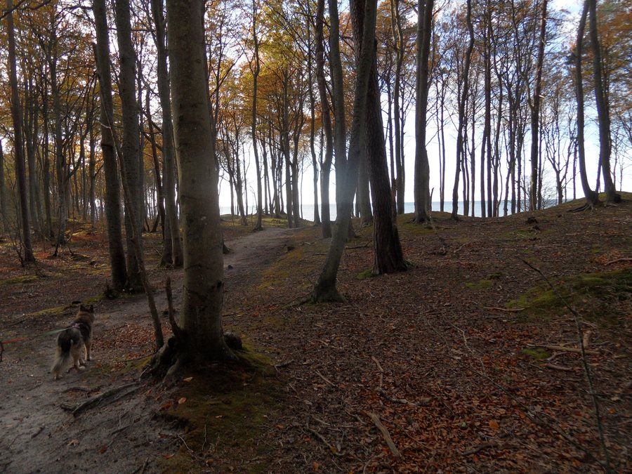
Poddąbie is located on the Baltic Sea and has a sandy beach accessed through the forest. High and relatively steep descents lead down to the shore.
Landscape and Coast
Plaża Dębina is located in the vicinity of Poddąbie. Plaża Rowy and Rowokół are situated in the surrounding area. Jarosławiec Plaża and Słowiński Park Narodowy are located in the wider regional area.
Nature and Trails
The immediate surroundings of Poddąbie feature dense beech and pine forests. Trails through the surrounding forests are used for family walks. The cycling paths include routes described as suitable for different levels of experience and for use by families.
History and Maritime Traces
Until 1945, Poddąbie was known by the German name Neu Strand; local livelihoods included fishing and forestry. Poddąbie has a footbridge as well as documented remains associated with a former Protestant cemetery. A lighthouse was built here in the 19th century and began operating in 1838.
Geographical Location
Poddąbie is approximately 20 km from Ustka and approximately 15 km from Darłowo, between the two larger holiday resorts. The nearest railway stations are in Sławno, approximately 25 km away, and in Słupsk, approximately 40 km away.
Other places in the same regional context include Losino, Osowa, Orzechowo, Łokciowe, Widzino, Stara Dabrowa K Slupska, Smołdziński Las and Sycewice.
For the higher-level travel overview: Stolp.

