
Rychliki: Hotels and Accommodation
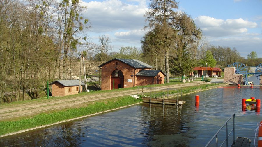 File:Gmina Rychliki, Poland - panoramio (1).jpg
Photo: ARKADIUSZ MARKIEWICZ via Wikimedia Commons, CC BY-SA 3.0
File:Gmina Rychliki, Poland - panoramio (1).jpg
Photo: ARKADIUSZ MARKIEWICZ via Wikimedia Commons, CC BY-SA 3.0
In the wider municipality of Rychliki, the Dzierzgoń River forms the western boundary, while the Elbląg Canal marks the northeastern boundary. Lake Korsuń covers 20 hectares.
Landscape and Bodies of Water
Most of the Rychliki municipality lies in the Iława Lake District, in the Braniewo–Pasłęk microregion on the edge of the Żuławy region. The landscape is undulating, with elevations reaching approximately 100 metres above sea level.
Surroundings
Kamienna Góra is located in the surrounding area of Rychliki. The wider regional area also includes Góra Maślana and Wzgorze nad Rumunkami.
Culture and Townscape
Traditional residential and farm buildings have been preserved in several settlements. These include arcaded houses, a rural manor house, religious buildings, and park and palace complexes.
The historical heritage of Rychliki includes the former Protestant, now Roman Catholic Church of the Immaculate Heart of Mary, its churchyard with cemetery, as well as historic wooden houses and farmsteads dating from the 18th and 19th centuries.
Routes and Cultural Landscape
In the wider municipality of Rychliki, the Saint Adalbert Trail leads from Elbląg and other localities to Święty Gaj.
Other places in the same destination area: Bogaczewo, Łęcze, Tolkmicko, Pasłęk, Godkowo, Szymbory, Kazimierzowo, Elbing.
Check prices, availability, and amenities for your travel dates directly on Booking.com.
View Accommodation and OffersAdvertisement · Partner link to Booking.comTo the higher-level travel overview: Elbing.

.jpg)