
Kowale Oleckie: Hotels and Accommodation
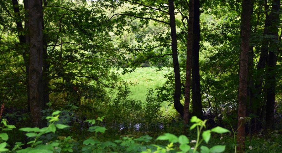
Kowale Oleckie is the centre of the Gmina Kowale Oleckie and the seat of its municipal authorities. In the municipal cycling context, the system Szlakami Mazur Garbatych includes a route that runs between bridges, lake shores and wooded areas. Route 1 is approximately 62 kilometres long; a 32-kilometre shortcut leads from Ciche via Zawady. It is marked in red on the ground.
Landscape
The Gmina Kowale Oleckie covers 25,153 hectares, and almost 35 per cent of its area is covered by forests. Szeska Góra and Tatarska Góra are located in the vicinity of Kowale Oleckie. Audyniskie Góra and Lipowa Góra are situated in the wider surrounding region.
History and Culture
The documented origins of Kowale Oleckie date back to 1563, when Duke Albrecht granted land to Absolon Ryman. The institutional history of the municipal cultural and educational centre began in 1965 with the establishment of a cultural centre in the town.
Region
The Olecko County is located in the historical region of Mazury in north-eastern Poland.
More pages: Wronki, Polom, Zajdy, Szarejki, Stacze, Jaski, Wilkasy.
To the higher-level travel overview: Olecki.
Check prices, availability and amenities for your travel dates directly on Booking.com.
View accommodation and offersAdvertisement · Partner link to Booking.com
