
Wygryny – Kayaking Route and Trails on the Masurian Plain
Accommodation in Wygryny
Wygryny offers a clear starting point for different routes: a kayaking route begins here, as does the Szlak bociani, a hiking and cycling route. The village lies on the Masurian Plain between the eastern arm of Lake Bełdany and the narrow, elongated Lake Wygryny (Wygryńskie). For trip planning, you can first decide whether to focus on a route on the water or a trail on foot or by bike.
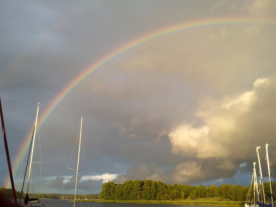 File:Gmina Ruciane-Nida, Poland - panoramio (5).jpg
Photo: Mariusz Cholewski (S… via Wikimedia Commons, CC BY 3.0
Kayaking from Wygryny to Ruciane-Nida
The kayaking route covers 7 km from Wygryny to Ruciane-Nida. Its starting point, destination and length are clearly specified. If you plan this trip, you can take its direction and total distance into account and choose Wygryny as the starting point. The route is a distinct way to experience the surrounding area from the water; its destination is Ruciane-Nida. The 7 km provide a practical guide for planning without requiring you to assume a particular duration.
The Szlak bociani on foot or by bike
As an alternative to the kayaking route, the Szlak bociani begins in Wygryny. The hiking and cycling route passes through Śwignajno Wielkie and Śwignajno Małe before reaching Ukta, and runs through the “Jeziora Mazurskie” UNESCO Biosphere Reserve. Its sequence of starting point, intermediate locations and destination makes the route easy to follow. If you prefer hiking or cycling, this is a named route with several stops rather than a water route. The sequence of places can help you decide which type of outing better suits your plans; the route through the biosphere reserve is also an explicit part of its description.
Both routes start in Wygryny, but differ in mode of travel and course: the kayaking route is 7 km long and leads to Ruciane-Nida; the Szlak bociani is intended for hiking and cycling and passes through two named places before reaching Ukta. This lets you weigh up whether to focus your stay on a water or land route without treating the two routes as equivalent.
Location between lakes and Ruciane-Nida
Wygryny lies in the southeastern part of the Warmian-Masurian Voivodeship, on the Masurian Plain. Wygryny lies between the eastern arm of Lake Bełdany and the narrow, elongated Lake Wygryny, also called Wygryńskie. Ruciane-Nida is 4.5 km south of Wygryny. These details locate the village within the region and give a specific point of reference to Ruciane-Nida, which is also the destination of the kayaking route. If you are considering Wygryny as a place to stay, you can take into account both its location within the voivodeship and its direction relative to the neighbouring town.
Village history and harbour
Wygryny is an old village whose history dates back to the 18th century. This historical context describes the place beyond its present-day location, without focusing on a particular attraction or building. The harbour is also part of Wygryny’s identity: it is one of the largest in the area. Together with the kayaking route, it gives the village a maritime connection, while the Szlak bociani offers another perspective focused on hiking and cycling. Several specific points can therefore help you choose a place to stay: its location between bodies of water, the two different routes, the village’s history and the harbour.
More nearby destinations for orientation: Pogobie Średnie, Wiartel, Wielki Las, Krzyże, Imionek, Maldanin, Pisz and Okartowo.
For the broader travel overview: Piski.

