
Redefin: Hotels and Accommodation
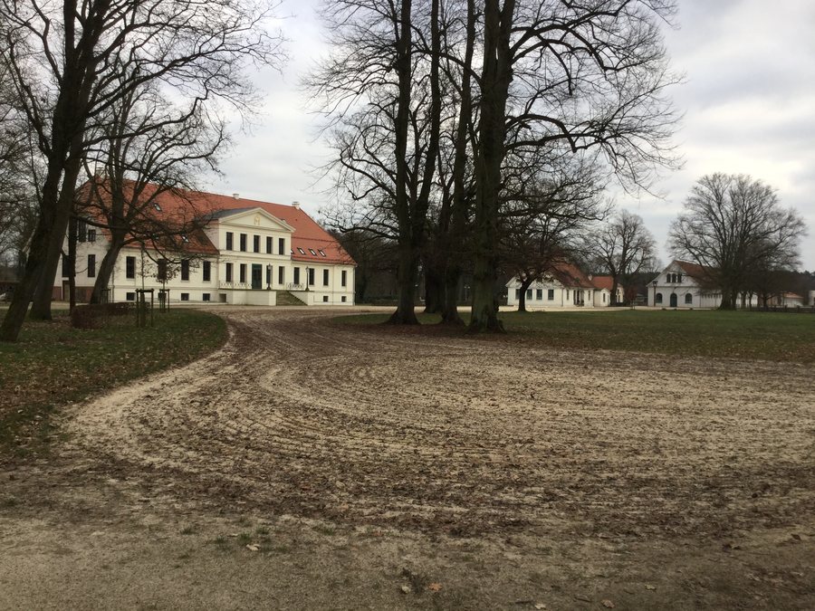
Redefin lies on the western edge of the Griese Gegend and on the western bank of the Sude. The village is considered to have originated from a Slavic circular village settlement and was first documented in 1306.
History
The village church in Redefin is considered a neo-Gothic brick building with a narrow tower. It was built between 1843 and 1847 according to plans by the architect Carl Heinrich Wünsch.
Landscape
The surrounding area of Redefin includes the hills Buchberg, Fuchsberg, Rähmelberg and Thomsberg. In the nearby Lübtheener Heide, paths lead through pine forest, sand and heathland and are suitable for hiking and cycling.
Culture and Surroundings
The wider regional surroundings of Redefin are home to the Dömitz Fortress as a fortified complex, the Opferberg and the Wendische Burgwall as historic sites, as well as the village church in Conow.
The horse-breeding tradition of the Redefin stud farm dates back to 1710. Guided tours and riding lessons are available there; visitors can also see a manor house.
Other entries under the same higher-level administrative authority are Bresegard Bei Picher, Warlitz, Strohkirchen, Bobzin, Pritzier, Belsch, Moraas and Toddin.
To the higher-level travel overview: Amt Hagenow-Land.
Check prices, availability and amenities for your travel dates directly on Booking.com.
View accommodation and offersAdvertisement · Affiliate link to Booking.com
