
Trollenhagen: Hotels and Accommodation
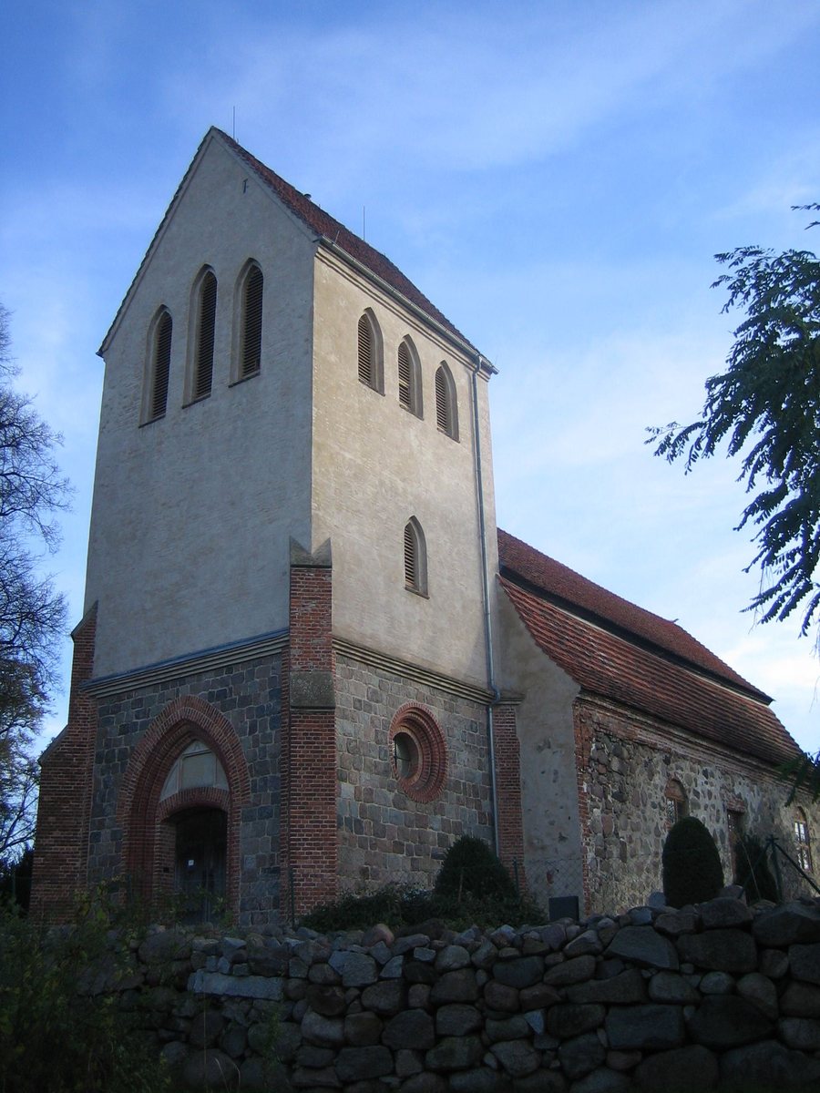
Geographical Location
Trollenhagen is located about five kilometers north of Neubrandenburg and east of the Tollense glacial valley. The municipality comprises the districts of Buchhof, Podewall, and Trollenhagen.
Municipality, History, and Surroundings
The history of the place dates back to the Middle Ages: Trollenhagen was first documented in 1308 under the name Hogenhaven. From 1358 onward, Podewall was partly owned by Himmelpfort Monastery.
The surroundings of Trollenhagen include Wildberg, St. George's Church in Neubrandenburg, the Cultural Park, Dahlen Village Church, and Cölpin Village Church. This connects the immediate surroundings of the place with named cultural and historical destinations.
Landscape and Infrastructure
The Ochsenberg, Tannenberg, and Kanzleiberg are also located in the surroundings of Trollenhagen.
The local infrastructure includes an airfield established in the 1930s. The civilian terminal opened in 1995; in addition to military operations, the site served as a civilian regional airport.
Beseritz, Blankenhof, Wulkenzin, Staven, Woggersin, Sponholz, Zirzow and Neddemin.
For the higher-level travel overview: Neverin Administrative District.
Check prices, availability, and amenities for your travel dates directly on Booking.com.
View Accommodation and OffersAdvertisement · Affiliate link to Booking.com
