
Neuenkirchen: Hotels and Accommodation
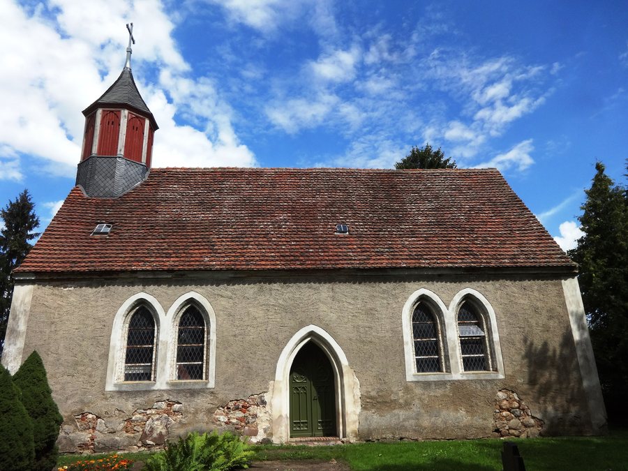
Neuenkirchen lies on the southern slope of the Werder, a glacial moraine. The Datze forms the boundary of the municipality to the south.
Geographical Location
Neuenkirchen (near Neubrandenburg) is a municipality in the Mecklenburg Lake District.
Culture and Places in the Surrounding Area
The surrounding area of Neuenkirchen includes St. George’s Church in Neubrandenburg, the village church in Cölpin, and the village church in Dahlen. Wildberg is located in the wider regional area.
Landscape
The Kanzleiberg is located near Neuenkirchen. The surrounding area also includes the Ochsenberg and the Mühlberg.
Check prices, availability, and amenities for your travel dates directly on Booking.com.
View Accommodation and OffersAdvertisement · Affiliate link to Booking.comOther Destinations in the Surrounding Area
The Kulturpark is located in the surrounding area of Neuenkirchen.
Transport Connections
The A20 is listed within the municipal area; the Neubrandenburg-Ost interchange is listed as being 5.5 kilometres away.
Passenger services on the Neubrandenburg–Friedland railway line, which also included Neuenkirchen station, were discontinued on 14 January 1994. State roads connect Neuenkirchen with the nearby towns of Neubrandenburg and Altentreptow.
Other places: Brunn, Neverin, Trollenhagen, Blankenhof, Woggersin, Staven, Sponholz, Zirzow
To the higher-level travel overview: Neverin Administrative District.

