
Kublank: Hotels and Accommodations
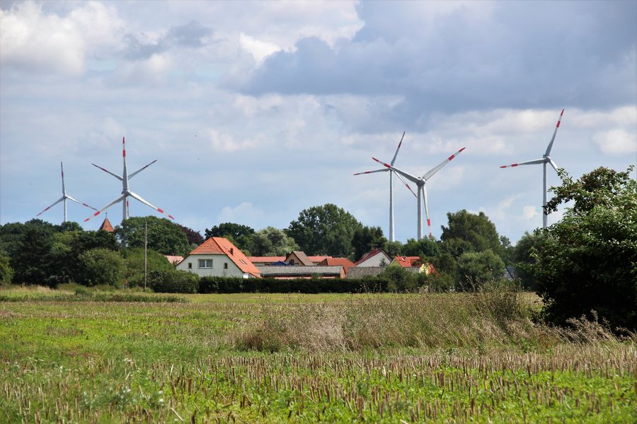
Kublank is located in a terminal moraine landscape, whose highest elevations reach 100 meters above sea level. The area around Kublank includes Sandberg, Wittenborner Quelle, Braune-Weiße Quelle, and Kanzleiberg.
Culture and History
In the wider regional surroundings of Kublank are the Blankenburg ruins, Schlossberg, and a church ruin. Cölpin Dorfkirche is also located in the area around Kublank.
Kublank is described as a place with Slavic settlement origins and was first documented in 1298 under the name Cvbiankin.
Geographical Location
Kublank is located in the eastern part of the Mecklenburgische Seenplatte district, in southeastern Mecklenburg-Western Pomerania. Kublank is administered by the Woldegk municipality; the municipality's seat is located in the town of Woldegk.
Other places in the same higher-level area are Neetzka, Schönbeck, Helpt, Woldegk, Petersdorf, Mildenitz, Voigtsdorf, and Schönhausen.
For the higher-level travel overview: Woldegk municipality.
Check prices, availability, and amenities for your travel dates directly on Booking.com.
View accommodations and offersAdvertisement · Affiliate link to Booking.com
