
Grabin: Archaeology and Manor House History
Accommodation in Grabin
Grabin combines a distinctive archaeological landscape with a historic palace and park complex. The Grabin archaeological site, site 1, is located on an overgrown spur; in the village stands a manor house dating from 1879 that has survived to this day. These different focal points give your trip planning a clear direction: you can explore Grabin from the perspective of its landscape and archaeology, or focus on its architecture and development.
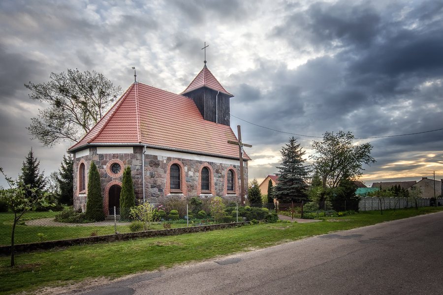 File:SM Grabin Kościół św Jana Chrzciciela 2019 (1).jpg
Photo: Sławomir Milejski via Wikimedia Commons, CC BY-SA 4.0
Landscape and archaeological context
The Grabin archaeological site, site 1, is located on a distinctive spur densely covered with trees and shrubs. The Grabiczek stream flows around the spur to the west and north. A spur is a section of terrain that projects into the surrounding area; its location by the stream makes this landform easy to understand in its setting. The vegetation and the two directions in which the stream flows provide a clear landscape context for the site. Visitors interested in archaeological places can therefore explore Grabin both through the site itself and through its characteristic landform.
The Grabiczek rises in Jezioro Lichtajny, located about 500 m southwest of the Grabin archaeological site, site 1. This gives the stream two spatial reference points: its source lake southwest of the site and the spur that it flows around to the west and north. This distinction is useful for understanding the landscape: the archaeological site lies on the overgrown spur, while the stream originates in the lake to the southwest.
Palace, park and building history
Grabin is home to a manor house that has survived to this day: a two-storey late Neoclassical palace with a park, built in 1879. Its architectural features include a pseudo-risalit, a projecting porch and an attic. A pseudo-risalit is a façade feature resembling a risalit; a porch projects from the building, while the attic forms the building’s uppermost section. These terms make the architecture more tangible for non-specialists: they describe elements of the façade and the building’s upper section, and add detail to its classification as a late Neoclassical structure. Together with its two-storey form, they make for a clearly defined architectural theme.
The palace and park complex underwent extensive renovation from 1998 to 2000. This makes it possible to distinguish two stages in the building’s history: the manor house’s construction in 1879 and a later renovation. The period from 1998 to 2000 refers to the renovation of the complex, not the construction date of the house. The historic site should therefore be understood in terms of both its 19th-century construction and the extensive work carried out later.
Classification of the hillfort rampart
Another archaeological point of reference is the hillfort rampart site in Grabin. It is listed as Polski Szaniec, of the peninsula type, in the municipal monument register, dated 11 June 1949. This date refers to the register entry; it is not the year the site was built. Alongside the description of the Grabin archaeological site, site 1, this provides a typological classification of a hillfort rampart site. The two archaeological descriptions emphasize different aspects: for Grabin, site 1, the focus is on the landform, vegetation and stream, while for the hillfort rampart the focus is on its name, Polski Szaniec, and its classification as a peninsula type.
Discover more destinations: Jurki, Roje, Gierzwald K Ostródy, Elgnowo, Morag, Ostróda, Lubajny, Grunwald
For the broader travel overview: Ostródzki.

