
Bornholm Guidebook: Regions, Coastlines and Culture
Andreas Haller’s Bornholm guide explores the Danish Baltic island’s nature, towns, coastlines and culture. This review covers the second edition, published in 2016 by Michael Müller Verlag, with 240 pages. The book combines a layout organized by compass points with maps and themed descriptions of excursions.
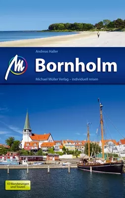 Reiseführer Bornholm
Bornholm guidebook at a glance
- Author: Andreas Haller
- Edition: second edition, 2016
- Publisher: Michael Müller Verlag
- Length: 240 pages
- ISBN: 978-3-95654-193-3
- Focus: regions, nature, coastlines, culture and excursions
Organized by compass points
The division by compass points gives a clear structure to a tour of the island. Rather than viewing places only alphabetically or as a loose sequence, readers can consider coastlines and destinations together within each part of Bornholm. This helps when choosing a base for a trip and makes it easier to see how individual visits can be combined into an island tour. The maps support this geographical orientation, complementing the descriptions with a clear picture of where places are located and how the regions follow one another.
To the west is Rønne, and to the east, Nexø. These two place names anchor the regional layout on opposite sides of the island. Bornholm lies south of Sweden and is politically part of Denmark. Historical ferry connections between Baltic ports and the island link Sassnitz with Rønne, and Kolberg with Nexø.
Nature, coastlines and culture as a common thread
The book’s thematic scope extends beyond descriptions of towns: it covers nature, coastal landscapes, culture and destinations for excursions. This mix makes the guide appealing to readers who want to discover the island in several different ways, rather than simply compiling a list of individual sights while planning their trip. Regional features give the places context, while maps and descriptive text take readers from finding their bearings to choosing possible day trips.
The book’s strength lies in bringing geographical structure together with thematic breadth. The compass-point layout helps divide the island into sections, while topics relating to nature and culture offer additional points of interest in each region. First-time visitors to Bornholm get a structured overview. Those who already know some of its places can relate them to other stretches of coastline and excursion destinations. The island of Bornholm offers further regional context.
Who this edition is for
The 2016 second edition is particularly useful when planning a trip that includes several parts of Bornholm. Its regional layout makes it easy to organize a stay around different stretches of coast, and the maps provide visual guidance. The bibliographic details help identify this specific edition: Andreas Haller, Michael Müller Verlag, 240 pages, second edition, ISBN 978-3-95654-193-3.
The guide’s main strength is its clear combination of regions and topics. Its coverage ranges from nature and coastlines to culture and excursions, making it useful for travelers with a variety of interests. To plan your own trip, you can first choose the right part of the island, then put together a selection of places and activities there. A complementary overview of accommodation on Bornholm connects this regional planning with the search for somewhere to stay.
Frequently asked questions about the Bornholm guidebook
Who wrote the guidebook?
Andreas Haller is the author of the Bornholm guidebook. The edition reviewed here was published by Michael Müller Verlag.
What topics does the second edition cover?
The book covers regions, nature, coastlines, culture and excursion destinations. Its compass-point layout and maps provide a geographical framework for finding your way around the island.
Which edition is this review about?
This review covers the second edition, published in 2016, with 240 pages and ISBN 978-3-95654-193-3.
