
Wittenförden: Hotels and accommodations
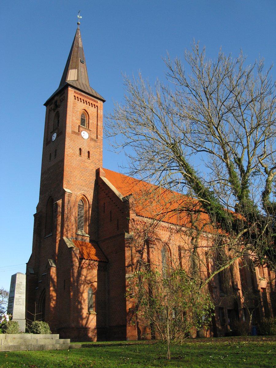 File:Wittenfoerden Kirche 2008-11-17 001.jpg
Photo: Niteshift ( talk ) via Wikimedia Commons, CC BY 3.0
File:Wittenfoerden Kirche 2008-11-17 001.jpg
Photo: Niteshift ( talk ) via Wikimedia Commons, CC BY 3.0
Wittenförden is located in a terminal moraine landscape; the Grambower Moor, Rabenhorn Forest, and Lake Neumühl are situated in its surroundings. The undeveloped areas belonging to the municipality are predominantly used for agriculture.
Geographical location
Wittenförden is a municipality in the Ludwigslust-Parchim district of Mecklenburg-Western Pomerania and lies on the northwestern city boundary of Schwerin.
Nature
Tannenwerder (Toteninsel), an island, is located in the immediate vicinity of Wittenförden. The surrounding area also includes Schwaneninsel, Kaninchenwerder, and Großer Werder, each of them an island.
Culture
In the area surrounding Wittenförden, Schwerin is home to the State Museum, a museum, and the Schwerin-Zippendorf TV Tower, a viewpoint. Also located in the surrounding area of Wittenförden are Schwerin Cathedral of St. Mary and St. John, a church, as well as Schwerin Cathedral, also a church.
History
Wittenförden celebrated its 800th anniversary with a festival week from July 10 to 16, 2017.
You can find more local pages under Zülow, Holthusen, Klein Rogahn, Pampow, Dümmer, Warsow, and Schossin.
For the overview of the higher-level travel area: Amt Stralendorf.
Check prices, availability, and amenities for your travel dates directly on Booking.com.
View accommodations and offersAdvertisement · Affiliate link to Booking.com
