
Budry: Hotels and Accommodation
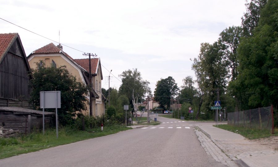
In the wider municipal area of Budry, the Green Velo cycling route crosses the landscape from west to east and is connected to local cycling routes. Waterways also shape the wider municipality: these include the Węgorapa, the Gołdapa and the Brożajcki Canal. Kayaking on the Węgorapa and pontoon trips on the Brożajcki Canal are among the activities mentioned.
Landscape and Nature
The wider regional surroundings of Budry include Lipowa Góra, Audyniskie Góra, Upałty and Tatarska Góra. The landscape of the wider municipal area also includes the meadows of the Niecka Skaliskiej, through which the Węgorapa and Gołdapa rivers meander, as well as the Skaliska Forest complex with boreal woodland.
The wider municipal area is home to species such as cranes, storks, white herons, wolves and lynxes. The panoramas are complemented by the Pawłowskie Upland and the Dowiackie and Piłackie Hills.
History and Townscape
Budry is home to the Church of the Holy Trinity, built in 1739. It was formerly Protestant and is now a Roman Catholic parish church. The historical heritage of the wider municipal area includes former noble manor houses in Więcki, Pochwałki and Budzewo, as well as historic original village buildings in Zabrost Wielki.
Location and Context
Budry lies in the north-eastern part of the Warmian-Masurian Voivodeship, in a borderland along Poland’s border with the Kaliningrad Oblast of the Russian Federation. The municipality presents itself as part of the northern Masurian borderland; historically, it was described as the northern edge of Masuria.
More local pages: Ogonki, Kolonia Pozezdrze, Węgorzewo, Łabapa, Pawłowo, Kal, Kuty, Jakunówko.
To the overarching travel overview: Węgorzewski.
Check prices, availability and amenities for your travel dates directly on Booking.com.
View accommodation and offersAdvertisement · Partner link to Booking.com
