
Barnin: Hotels and Accommodations
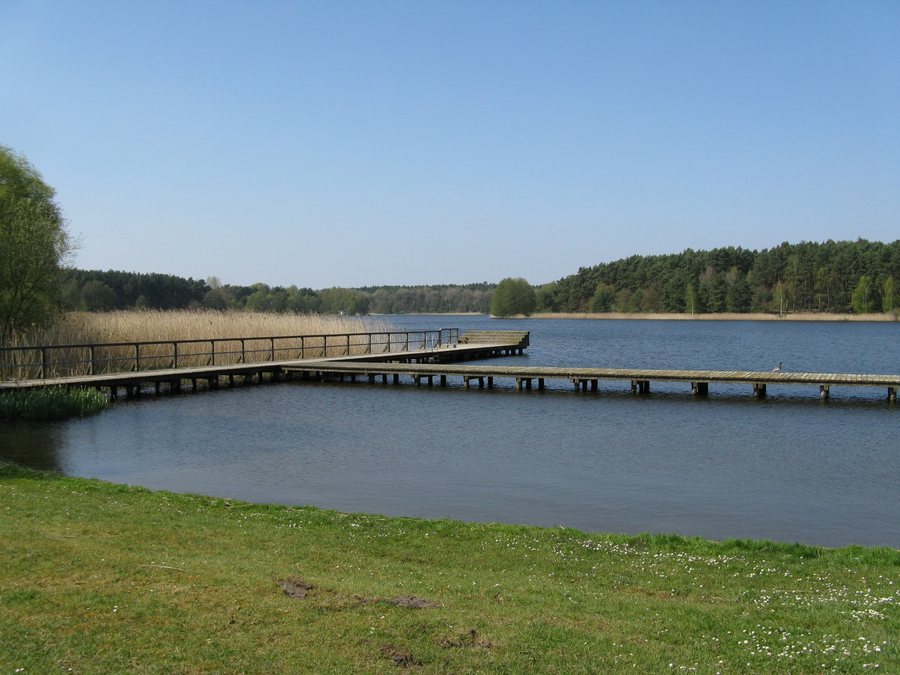
Barnin is located about three kilometers northeast of Crivitz. The village lies on the southeastern shore of Lake Barnin; the Warnow River flows through the municipality.
Landscape
The Barniner Tannen woodland area is located in the eastern part of the municipality, with Eichholz to the south. In the immediate vicinity of Barnin, Große Lindenberg is a hill. In the surrounding area, Flakenwerder is an island; in the wider regional area are Kaninchenwerder and Schwaneninsel, also islands.
Culture
In the wider regional area of Barnin, Schwerin-Zippendorf TV Tower serves as a viewing point. The “Schwerin, State Museum” and Groß Raden Open-Air Museum are also located there. Both are museums; Schwerin Cathedral is a church in this area.
Location
The municipality of Barnin lies north of federal highway B321. The A14 motorway is about 15 kilometers away via the Schwerin-Ost interchange.
You can find more nearby destinations under Tramm, Friedrichsruhe, Demen, Zapel, Crivitz and Bülow.
For the overview of the wider travel area: Amt Crivitz.
Check prices, availability, and amenities for your travel dates directly on Booking.com.
View accommodations and offersAdvertisement · Affiliate link to Booking.com
