
Iznota: Kayak Route, Lake Bełdany and Galindia
Accommodation in Iznota
Iznota is particularly easy to understand as a travel destination through its connections to kayaking and its waterscape. There is a place to launch kayaks at the road bridge in Iznota. From Iznota, the kayak route continues across Zatoka Iznocka to Lake Bełdany. This identifies both a specific launch point and a named destination on the route. Check the condition of the launch site in person before setting off.
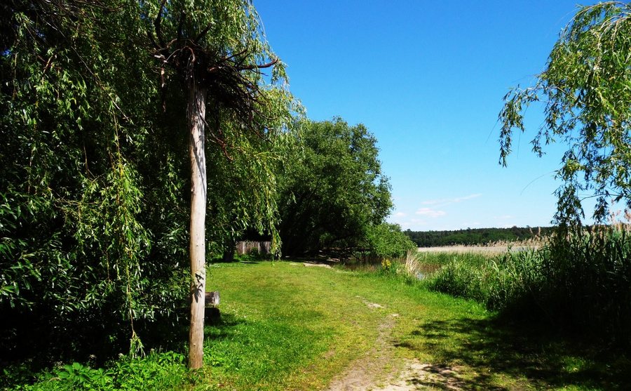
Kayak route and Lake Bełdany
Lake Bełdany covers 940.6 hectares and is part of the Masurian Lake District route. The mouth of the Krutynia is also located near the launch site: it lies about 0.5 kilometres from the kayak launch point by the road bridge in Iznota and flows into Lake Bełdany. Several geographic reference points therefore come together here: the kayak route from Iznota across Zatoka Iznocka to the lake, the mouth of the Krutynia, and the lake’s place on a wider lake route. These perspectives help you locate the area on a map without treating the individual routes and bodies of water as one and the same. When planning, you can consider whether your main focus is the route from Iznota, the river mouth, or Lake Bełdany as part of the Masurian Lake District.
The Krutynia kayaking trail and its landscape
The Krutynia kayaking trail also runs through the surrounding area. It is over 100 kilometres long and leads from Sorkwity on Lake Lampackie to Ruciane-Nida on Lake Nidzkie. This is on a different scale from the specific kayak route from Iznota to Lake Bełdany: here, a long trail with named endpoints is described, while the other is a connection from Iznota across the bay to the lake. Those interested in kayaking trips can distinguish between finding their bearings in Iznota and the longer course of the Krutynia kayaking trail. The two route descriptions offer different points of reference, depending on whether you want to focus first on a place or on the course of a longer trail.
Below Ukta, the lower section of the Krutynia lies within the “Krutynia” nature reserve, sometimes also called “Krutynia Dolna.” A two-kilometre stretch below Ukta is called “Mała Amazonka.” Numerous meanders, fallen tree trunks and inaccessible, marshy banks characterise this section. The names help with orientation: “Krutynia” or “Krutynia Dolna” refers to the protected area along the lower river section; “Mała Amazonka” refers to the two-kilometre stretch with its described bends and banks. This landscape is part of the surrounding area and does not describe Iznota as a whole.
Galindia on the shore
In Iznota, Galindia is located right on the shore of Lake Bełdany. The complex is designed to resemble an ancient Prussian settlement. This adds another point of interest to the waterways and river landscape: a landscaped complex on the lakeshore. Is your interest more in the kayak route and waterways, the described stretches of the Krutynia landscape, or Galindia’s design? This question offers a concrete starting point for understanding Iznota as a travel destination.
Discover more destinations: Orzysz, Pisz, Karwica, Klusy, Wiartel, Wierzba, Wygryny, Pilchy
For the overview of the wider travel area: Piski.

