
Baltic Sea Cycle Route, Mecklenburg-Western Pomerania
Cycling along the Baltic Sea between Lübeck and Usedom
The Baltic coast of Mecklenburg-Western Pomerania, stretching from Lübeck Bay in the west to the Polish border on the island of Usedom in the east, is highly varied and in places deeply indented, with mostly very little variation in elevation. This, along with its hinterland, makes it an especially popular area for cycle tourists who have discovered this kind of active holiday on the Baltic Sea. There is plenty to discover here, in addition to the benefits that cycling itself offers as a combination of getting around, enjoyment and staying healthy.
Cycling maps and tour guides are indispensable aids for exploring the region, and we present them here. The Baltic Sea Cycle Route runs along the entire Baltic coast of Mecklenburg-Western Pomerania, from Lübeck to Ahlbeck, connecting with the eastern Baltic coast in Poland and the Baltic states.
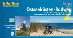 Ostseeküstenradweg Mecklenburg-Vorpommern
Photo: © Verlag Esterbauer
Ostseeküstenradweg Mecklenburg-Vorpommern
Photo: © Verlag Esterbauer
Baltic Sea Cycle Route tour guide from Lübeck to Ahlbeck
The 140-page guide describes the individual sections of the long-distance cycle route. Its scale of 1:75,000 is very user-friendly, while city-centre maps of selected towns are shown at an even larger scale. Along with route profiles and distances for each section, the guide contains numerous tips on interesting sights, including some a little way off the route, as well as contact details, places to stop for a break and accommodation options. GPS tracks, available online after registration, provide additional help with navigation.
The format fits standard map cases, and the paper is weatherproof and tear-resistant, so it can withstand a few raindrops.
Baltic Sea Cycle Route tour guide
Part 2: Mecklenburg-Western Pomerania
10th edition, 2011
Format: 22.5 x 12 cm
Publisher: Esterbauer GmbH
ISBN 978-3-85000-008-6
€12.90
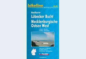 Cycling map: Western Mecklenburg Baltic Coast
The stretch of Baltic coast between Lübeck and Rostock is shown on a large-format map. This coastal area is shaped by Lübeck Bay and Wismar Bay, with the island of Poel, as well as the hinterland and its lakes, from the Ratzeburg area in the west via Lake Schwerin to the Sternberg Lakes. The Hanseatic cities of Lübeck, Wismar and Rostock are included, as is the northern edge of Schwerin, the state capital.
Cycling map: Lübeck Bay, Western Mecklenburg Baltic Coast
1st edition, 2008
Format: 22.5 x 12 cm
Publisher: Esterbauer GmbH
ISBN 978-3-85000-243-1
€6.90
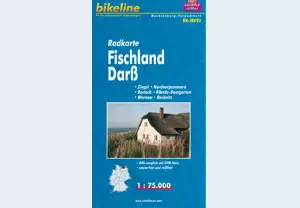 Cycling map: Fischland-Darß
To the east lies the Fischland-Darß-Zingst peninsula, extending with its hinterland between Rostock and Stralsund. This large-format cycling map is a useful companion to the cycling atlas and shows the cycling options along this stretch of the Baltic coast, together with many additional details, at a scale of 1:75,000. The map is weatherproof and tear-resistant.
Cycling map: Fischland-Darß
2nd edition, 2011
Folds down to 12 x 22.5 cm
Publisher: Esterbauer GmbH
ISBN 978-3-85000-206-6
€6.90
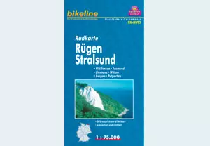 Cycling map: Rügen, Stralsund and Hiddensee
Germany’s largest island, together with its small neighbouring island of Hiddensee and the Hanseatic city of Stralsund, is covered by this large-format map. It can be used to explore the whole island of Rügen by bike, not just the Baltic Sea Cycle Route.
Cycling map: Rügen, Stralsund and Hiddensee
2nd edition, 2010
Folds down to 12 x 22.5 cm
Publisher: Esterbauer GmbH
ISBN 978-3-85000-207-3
€6.90
This page is an ADVERTISEMENT by Esterbauer Verlag
