
Sweden Cruising Guide 2
The Sweden Cruising Guide 2 by Gerti and Harm Claußen covers Sweden’s southern and eastern Baltic coast as far as the Stockholm archipelago. It describes Ystad, Hanö Bay, the Kalmar Strait, Öland, Gotland, Arkösund and Arholma. This volume is aimed at skippers planning a longer coastal cruise or looking to explore particular cruising areas in detail.
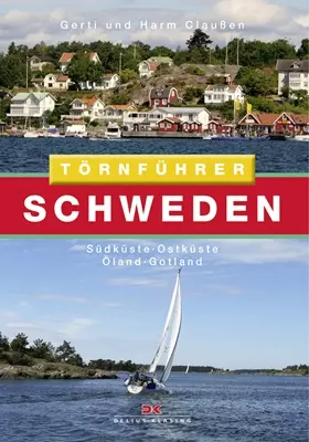 Törnführer Schweden 2
Photo: © Delius Klasing Verlag
Key facts about the cruising area and route
The route described begins in the south at Falsterbo and Trelleborg. It continues through Hanö Bay to Karlskrona and along the Kalmar Strait; Öland and Gotland add two island cruising areas to the mainland coast. The guide then extends past Arkösund into the Stockholm archipelago. The coast near Falsterbo, Trelleborg and Simrishamn mark the southern sections of this passage; farther east lie Karlskrona, Öland and Gotland.
The harbour descriptions make this guide particularly useful for planning stages: it covers marinas, anchorages and natural harbours, each with a description and plan. Additional information about the surrounding area and cruising grounds, as well as berthing and provisioning options, helps you choose a suitable stopover. If you are setting out from Sweden’s southwest coast, the accommodation guide for Skåne lists places to stay before or after your cruise.
Islands and archipelagos as separate stages
Öland lies along the Kalmar Strait, opposite the Swedish mainland coast. The guide covers harbours on both sides of the island, describing a cruising area where an island stay can be combined with a coastal leg. Gotland lies farther out in the Baltic and forms a distinct part of the journey. To the north, the route passes Arkösund and enters the sprawling Stockholm archipelago, including its northern reaches.
The approach to Norrköping is part of the coastal stretch between the Kalmar Strait and Arkösund; the Stockholm archipelago marks the northern end of the Baltic route described in the guide.
Edition and use on board
The cruising guide is available in bookshops under ISBN 978-3-667-11660-4 and runs to 367 pages. It describes the cruising areas from Ystad to the Stockholm archipelago. The most useful features for passage planning are the cruising-area maps and harbour plans, information on berthing and provisioning, and descriptions of the surroundings.
Volume 2 covers southern and eastern Sweden. For a journey continuing farther north, the Sweden overview is a useful introduction to other regions. Along the way, the route combines different types of coastline and island stays; the order of stages depends on the cruising area, weather and your own plans.
Frequently asked questions about Sweden Cruising Guide 2
Which coastal regions does Volume 2 cover?
The guide covers Sweden’s southern and eastern coast, from Ystad and Hanö Bay via the Kalmar Strait, Öland, Gotland and Arkösund to the Stockholm archipelago.
What harbour information does the guide provide?
It includes descriptions and plans of marinas, anchorages and natural harbours, as well as information about the cruising area, berthing options and provisions.
How can you use the guide to plan a cruise?
The descriptions of cruising areas and harbour plans help you compare stopovers and stages. You can plan the coastal passage from south to north or make individual island and archipelago areas the focus of your cruise.
