
Hohenbollentin: Local History and Cycling
Accommodation in Hohenbollentin
The Augraben flows through the municipality of Hohenbollentin. Local history and cycling routes offer further concrete points of interest for a stay. If you pay particular attention to historical connections or cycling when choosing your destination, these topics can help guide your plans. The location can also be described using two details: Hohenbollentin lies about 15 km south of Demmin, and the B 194 federal road runs west of the municipality.
Orientation and Local History
The distance to Demmin is given as about 15 km. You should understand this as an approximate figure; it is not an exact value. The location of the B 194 west of the municipality provides a second geographical reference point. Both details help you locate Hohenbollentin on a map without specifying a particular route or travel time. The Augraben, which flows through the municipality, is another local landmark.
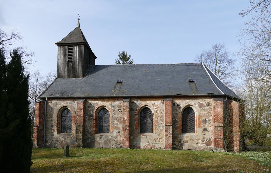
Hohenbollentin was first mentioned in a document in 1226, in a deed of donation by Prince Wartislaw III. The church in Hohenbollentin was first mentioned in 1325. The two dates refer to different mentions: the first to Hohenbollentin, the second to the church. A later event is also recorded as part of the town’s history: the church collapsed on 22 May 1756 and lay in ruins for 30 years. This sequence provides a historical timeframe without making claims about other building phases or the church’s present condition.
The Church and Historical Connections
Hohenbollentin Church is listed in Mecklenburg-Western Pomerania’s register of listed buildings under number 489. This entry can be considered an additional historical connection to the church. Evangelical Church Hohenbollentin is also associated with Sunday healing services at 10:30 a.m. by request. When choosing what interests you, you can consider these details separately: the dates and the collapse relate to local history, while the listed-building entry and the association with the services are separate points of information about the church.
Cycling Routes Connected with Hohenbollentin
One cycling route runs from Süderholz to Hohenbollentin and is about 51 km long. It follows Dorfstraße, Langenfill, and Hiddenhausener Straße. This names both the starting point and destination, as well as several places along the route. The route gives you a concrete point of reference if you want to explore Hohenbollentin as part of a cycling trip; it does not specify journey time or difficulty.
Another cycling route runs from Hohenbollentin to Züssow and is 62 km long. When choosing between these two routes, you can refer to the differences explicitly stated: one starts in Süderholz and ends in Hohenbollentin, while the other starts in Hohenbollentin and goes to Züssow. The distance figures are not given with the same level of precision: the Süderholz route is “about 51 km,” while the route to Züssow is listed as 62 km.
For further ideas on places to visit, the same local overview also includes Verchen, Meesiger, Nossendorf, Sarow, Sommersdorf, Utzedel, Hohenmocker, and Beggerow.
For the broader travel overview: Amt Demmin-Land.

